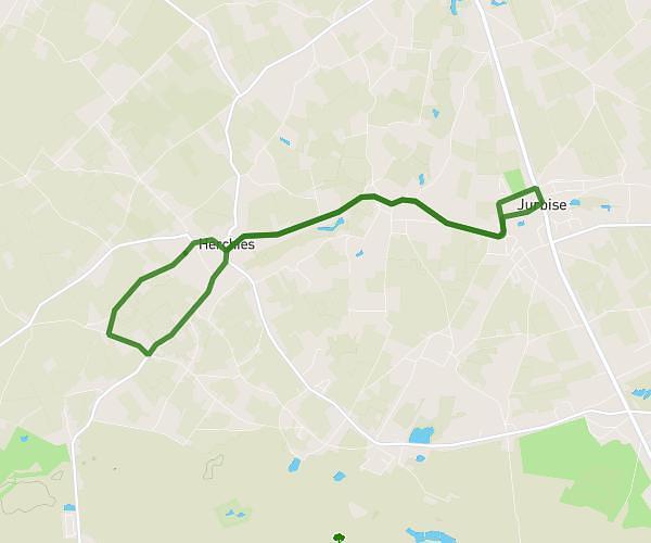
This running route covers 3.951mi starting from Ath, Hainaut. The run is a loop trail and returns to the trailhead. This run is rated as easy, expect about 42m to complete it. The route has an elevation gain of 7ft and an elevation loss of 16ft.
Tour chemin royal
Route details
5.64mph
Speed
480 kcal
Calories burned
Loop trail
Route type
115ft
Min altitude
131ft
Max altitude
Route profile
7ft
Elevation gain
16ft
Elevation loss
115ft
Min altitude
131ft
Max altitude
How to get there
Trailhead: Chaussée De Grammont 69, 7822 Ath, Hainaut, Belgium
GPS coordinates of the trailhead: 50.65896, 3.87326 / 50°39'32'' N, 3°52'23'' E