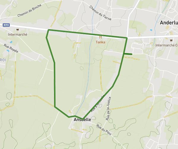
This running route covers 4.513mi starting from Braine-le-Comte, Hainaut. The run is a loop trail and returns to the trailhead. This run is rated as easy, expect about 48m25s to complete it. The route has an elevation gain of 673ft and an elevation loss of 673ft.
Run 2
Route details
5.59mph
Speed
554 kcal
Calories burned
Loop trail
Route type
325ft
Min altitude
525ft
Max altitude
Route profile
673ft
Elevation gain
673ft
Elevation loss
325ft
Min altitude
525ft
Max altitude
How to get there
Trailhead: Avenue Du Bois 12, 7090 Braine-le-Comte, Hainaut, Belgium
GPS coordinates of the trailhead: 50.603214, 4.164589 / 50°36'11'' N, 4°9'52'' E