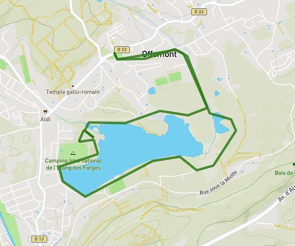
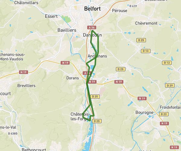
This running route covers 8.205mi starting from Belfort, Territoire de Belfort. The run is a loop trail and returns to the trailhead. This run is rated as hard, expect about 1h28m to complete it. The route has an elevation gain of 52ft and an elevation loss of 66ft.
Belfort 13k
Route details
5.59mph
Speed
1006 kcal
Calories burned
Loop trail
Route type
1155ft
Min altitude
1207ft
Max altitude
Route profile
52ft
Elevation gain
66ft
Elevation loss
1155ft
Min altitude
1207ft
Max altitude
How to get there
Trailhead: 64 Avenue Jean Moulin, 90000 Belfort, France
GPS coordinates of the trailhead: 47.651476, 6.86241 / 47°39'5'' N, 6°51'44'' E