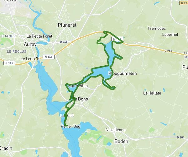
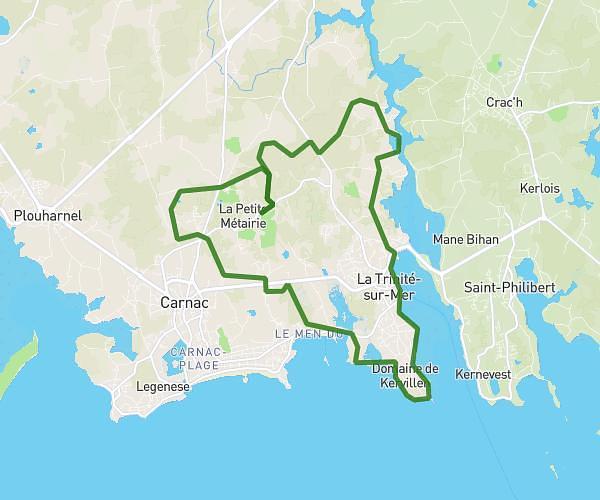
This running route covers 2.962mi starting from Belz, Morbihan. The run is a loop trail and returns to the trailhead. This run is rated as easy, expect about 34m to complete it. The route has an elevation gain of 102ft and an elevation loss of 115ft.
Tour de Saint Cado
Route details
5.23mph
Speed
389 kcal
Calories burned
Loop trail
Route type
0ft
Min altitude
43ft
Max altitude
Route profile
102ft
Elevation gain
115ft
Elevation loss
0ft
Min altitude
43ft
Max altitude
How to get there
Trailhead: 3 Rue Pen Mane Bras, 56550 Belz, France
GPS coordinates of the trailhead: 47.68239, -3.18748 / 47°40'56'' N, 3°11'14'' W