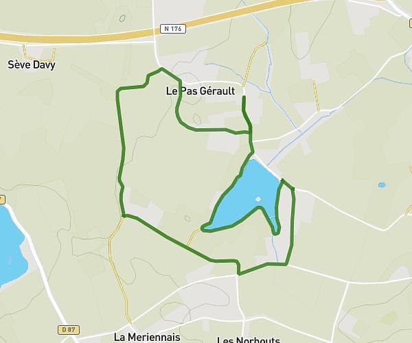
This running route covers 13.146mi starting from Sartilly-Baie-Bocage, Manche. The run is a loop trail and returns to the trailhead. This run is rated as strenuous, expect about 1h45m to complete it. The route has an elevation gain of 157ft and an elevation loss of 118ft.
Les foulées Semi
Route details
7.46mph
Speed
1209 kcal
Calories burned
Loop trail
Route type
223ft
Min altitude
381ft
Max altitude
Route profile
157ft
Elevation gain
118ft
Elevation loss
223ft
Min altitude
381ft
Max altitude
How to get there
Trailhead: 1 Rue De L'église, 50530 Sartilly-Baie-Bocage, France
GPS coordinates of the trailhead: 48.752015, -1.455354 / 48°45'7'' N, 1°27'19'' W