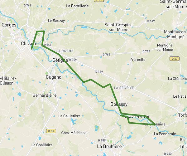
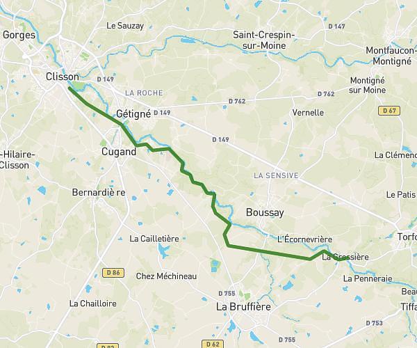
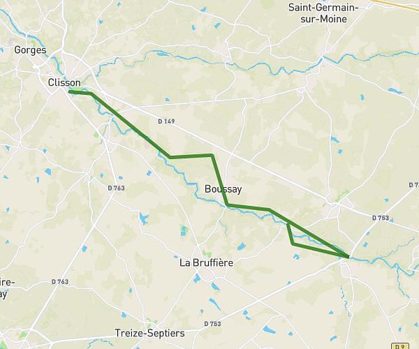
Explore this hiking route of 6,623mi starting from Boussay, Loire-Atlantique. The hike is a loop and returns to the starting point. This hike is rated as easy, plan for about 2h18m to complete it. The route has a positive elevation gain of 351ft and a negative elevation loss of 354ft.
Description of the route by the creator
hucheloup school chevalier rousselin


