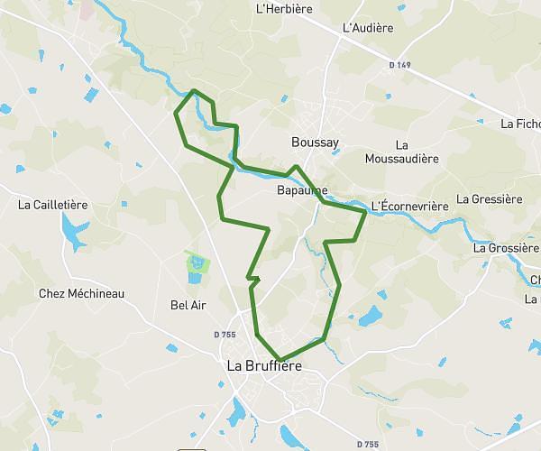
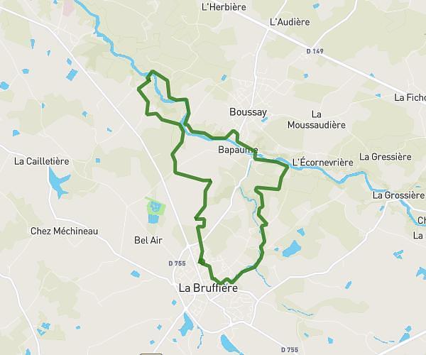
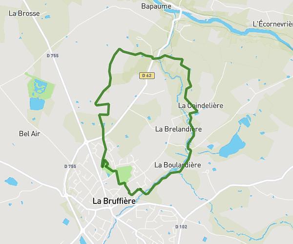
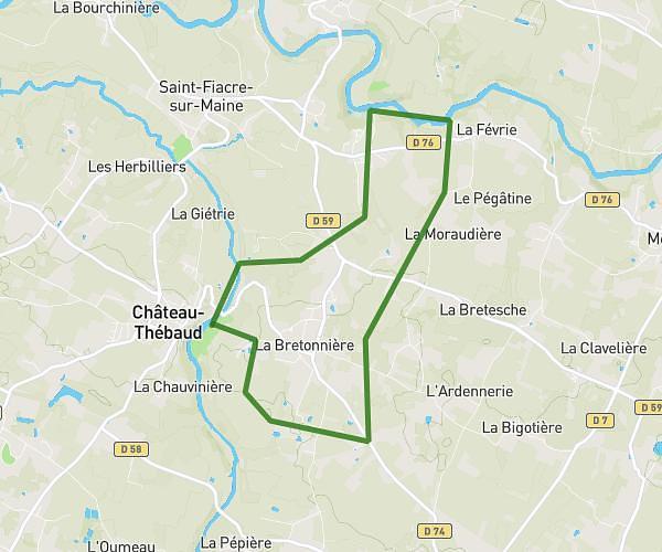
This hiking trail covers 14.162mi starting from La Bruffière, Vendée. The hike does not return to the trailhead and ends near Rue Saint-Gilles, 44190 Clisson. This hike is rated as moderate, plan for about 5h3m to complete it. The route has an elevation gain of 725ft and an elevation loss of 771ft.
Samedi DEF
Route details
2.8mph
Speed
2162 kcal
Calories burned
2.0%
Avg grade
Point to point
Route type
49ft
Min altitude
276ft
Max altitude
Route profile
725ft
Elevation gain
771ft
Elevation loss
49ft
Min altitude
276ft
Max altitude
How to get there
Trailhead: D 62, 85530 La Bruffière
GPS coordinates of the trailhead: 47.03602, -1.18443 / 47°2'9'' N, 1°11'3'' W