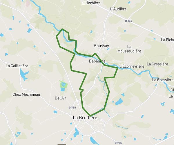
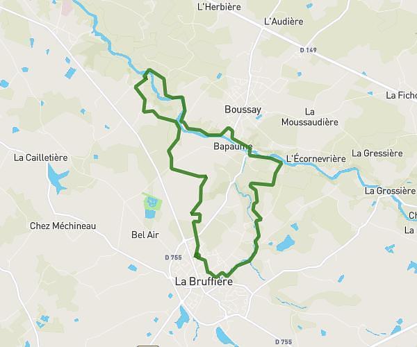
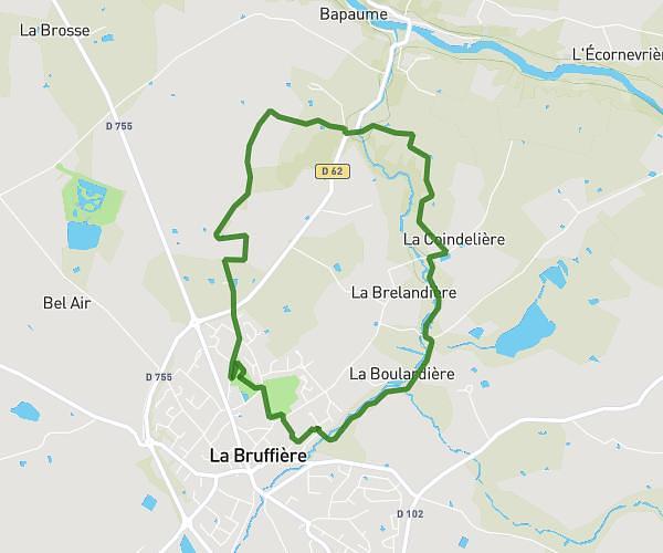
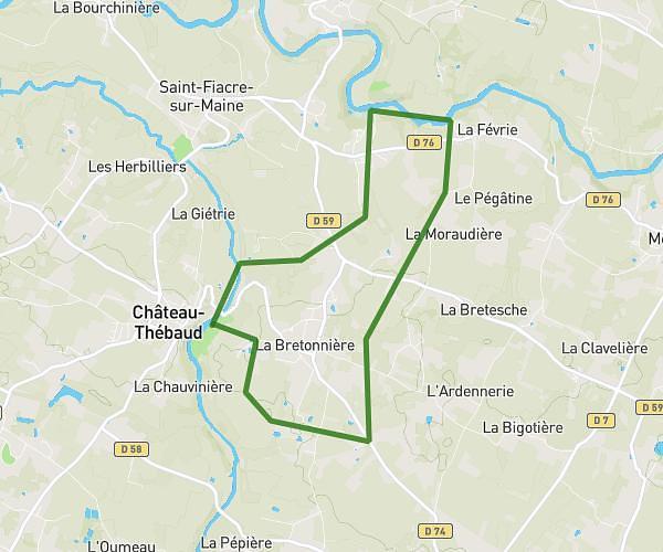
This hiking trail covers 15.058mi starting from Sèvremoine, Maine-et-Loire. The hike does not return to the trailhead and ends near Rue Saint-Gilles, 44190 Clisson. This hike is rated as moderate, plan for about 4h21m to complete it. The route has an elevation gain of 679ft and an elevation loss of 709ft.
parcours samedi ind B
Route details
3.46mph
Speed
1853 kcal
Calories burned
1.7%
Avg grade
Point to point
Route type
56ft
Min altitude
289ft
Max altitude
Route profile
679ft
Elevation gain
709ft
Elevation loss
56ft
Min altitude
289ft
Max altitude
How to get there
Trailhead: La Grossière (Torfou), 49230 Sèvremoine
GPS coordinates of the trailhead: 47.02947, -1.1473 / 47°1'46'' N, 1°8'50'' W