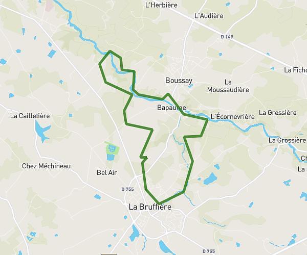
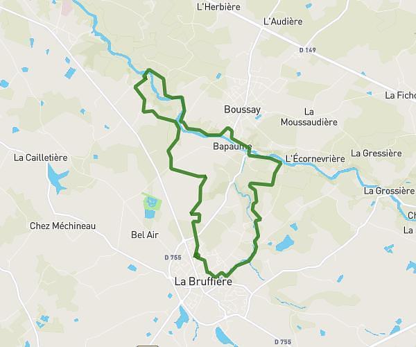
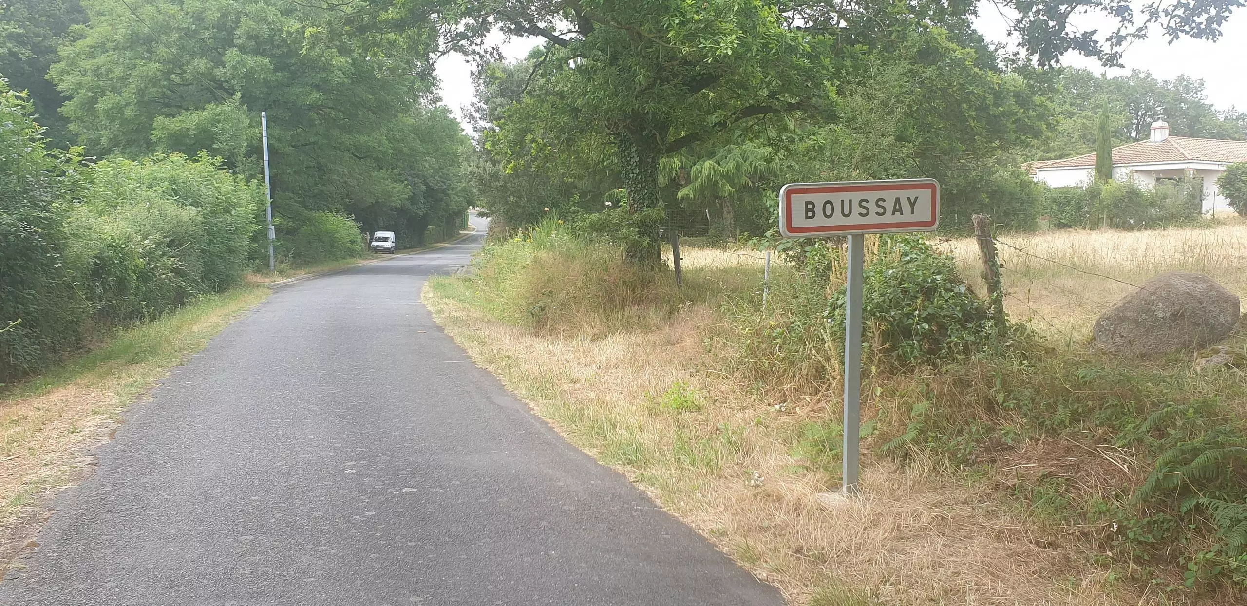
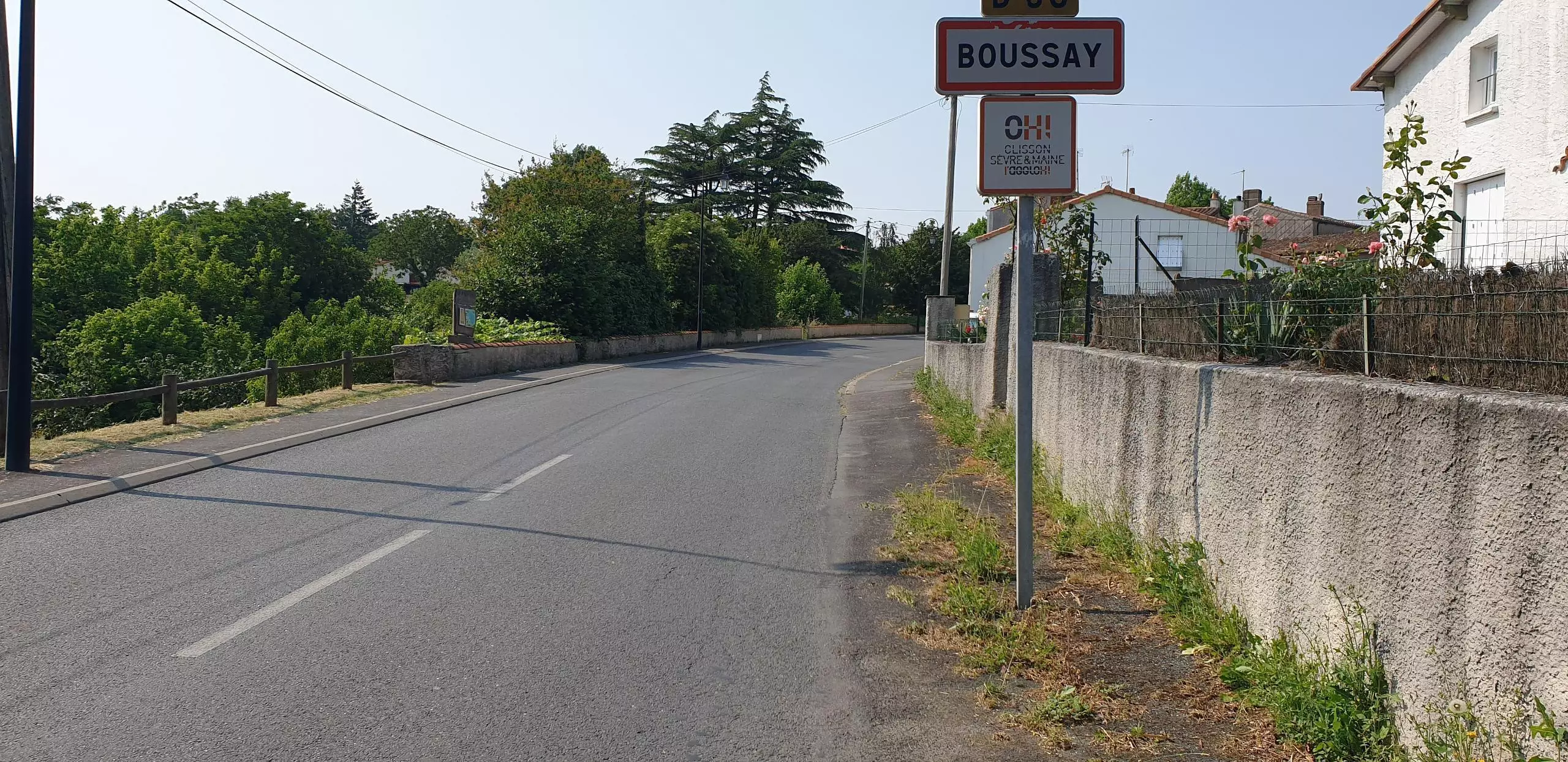
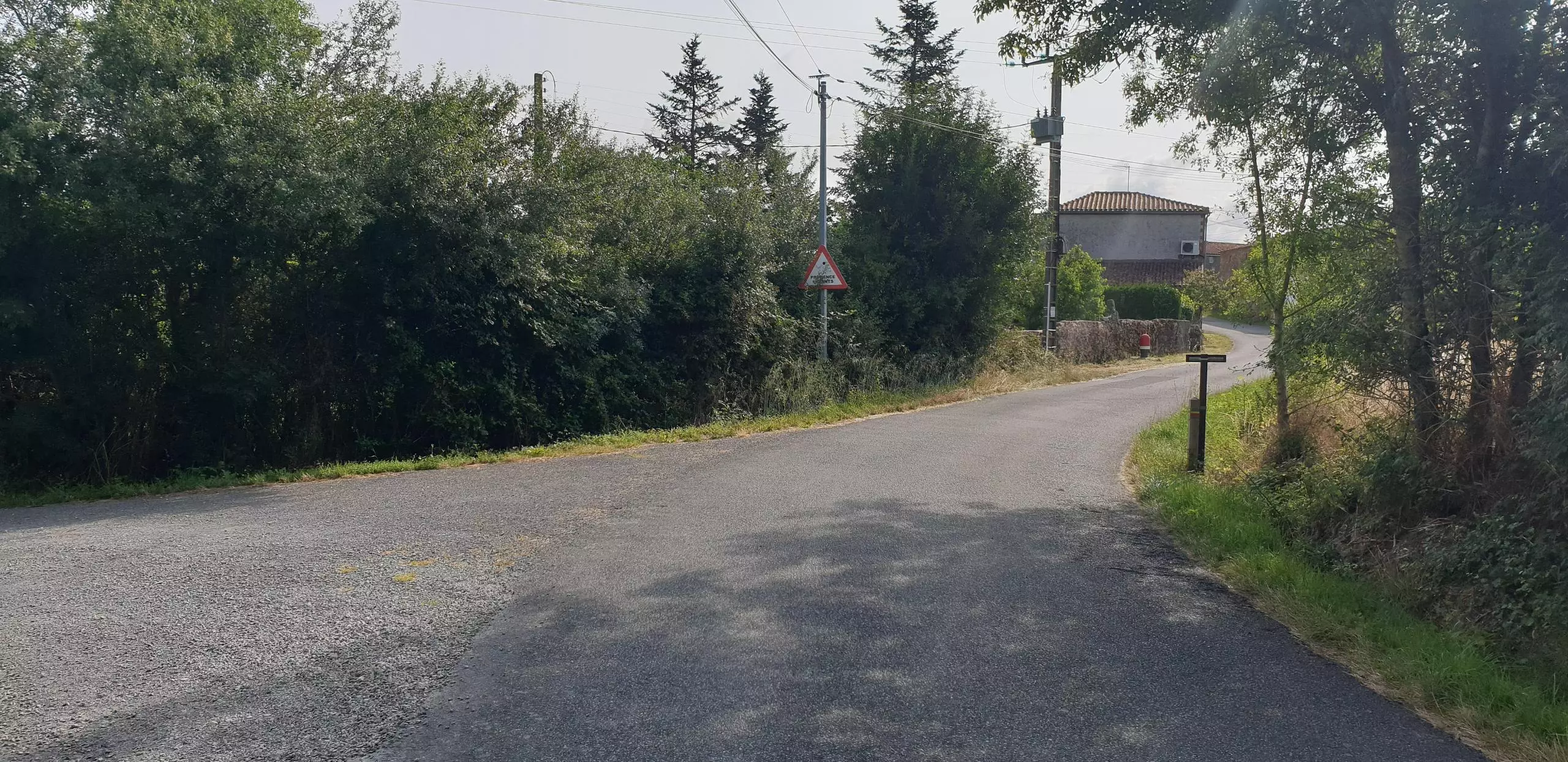
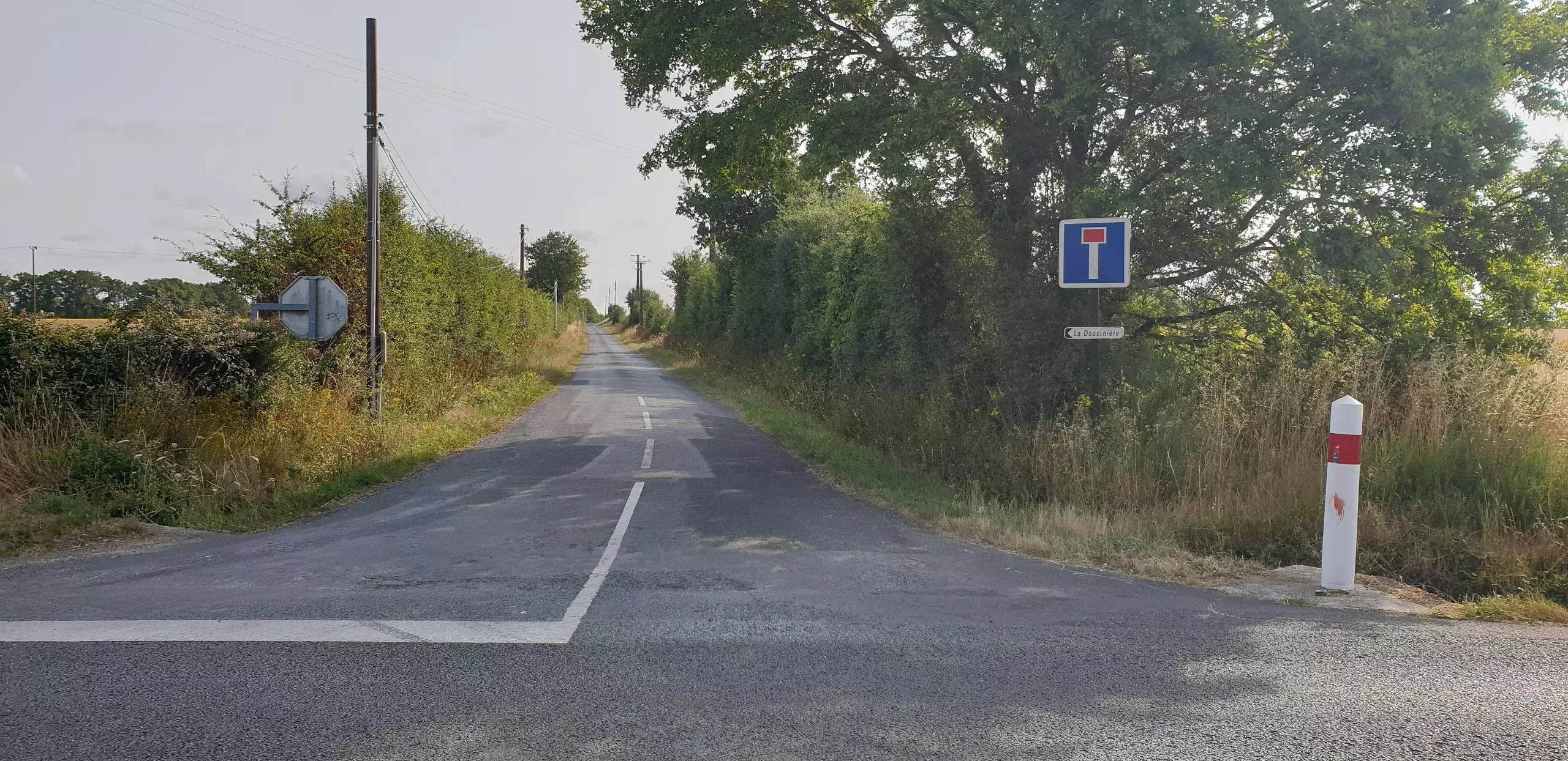
2023 randonnée 15 km j.

Pan. manif. rond point gare
Pan. manif. rue d'anjou
Pan. Manif. R.point rue de l'arceau
Pan. Manif. rue des 3 Provinces
Pan. Manif. rue du Val de Sèvre
Pan. Carrefour Randonneur
Pan. Rando registration
Pan. Port demonstration
Pan. Manif maison rouge
Pan. Manif. Ruffole
Pan. Manif. Ruffole
Pan. Manif. l'Herbière
Danger
Danger
Pan. Manif. la Guignardière
Pan. Manif la Doucinière
Danger
Danger
Danger
Danger
Danger
Danger
Danger
Danger

Route details

Explore this hiking route of 9.316mi starting from Boussay, Loire-Atlantique. The hike is a loop and returns to the starting point. This hike is rated as easy, plan for about 2h59m to complete it. The route has a positive elevation gain of 469ft and a negative elevation loss of 472ft.

Description of the route by the creator

maison rouge supplies

(Description automatically translated)

Route profile

469ft
Elevation +
472ft
Elevation -
92ft
Min altitude
279ft
Max altitude

How to get there

Route starting point: Rue Des Genêts, 44190 Boussay

GPS coordinates of the starting point: 47.04444, -1.18912 / 47°2'39'' N, 1°11'20'' W