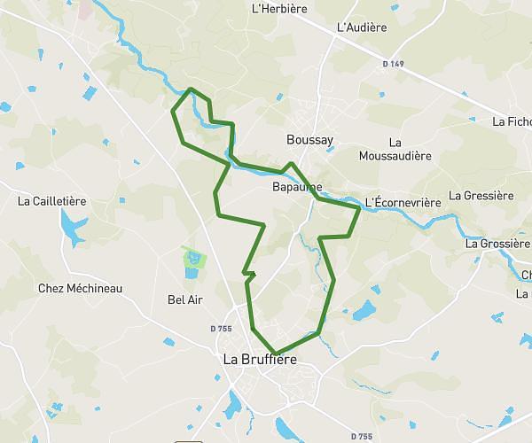
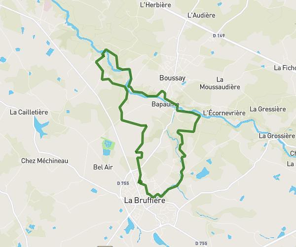
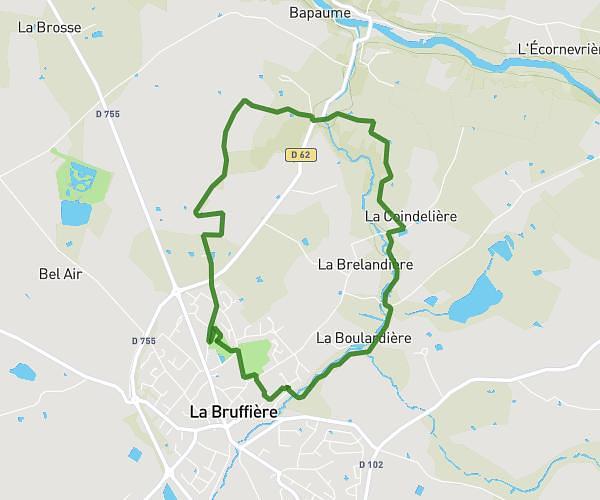
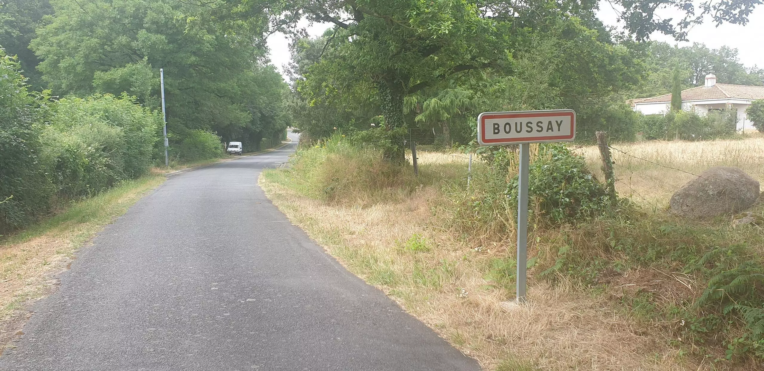
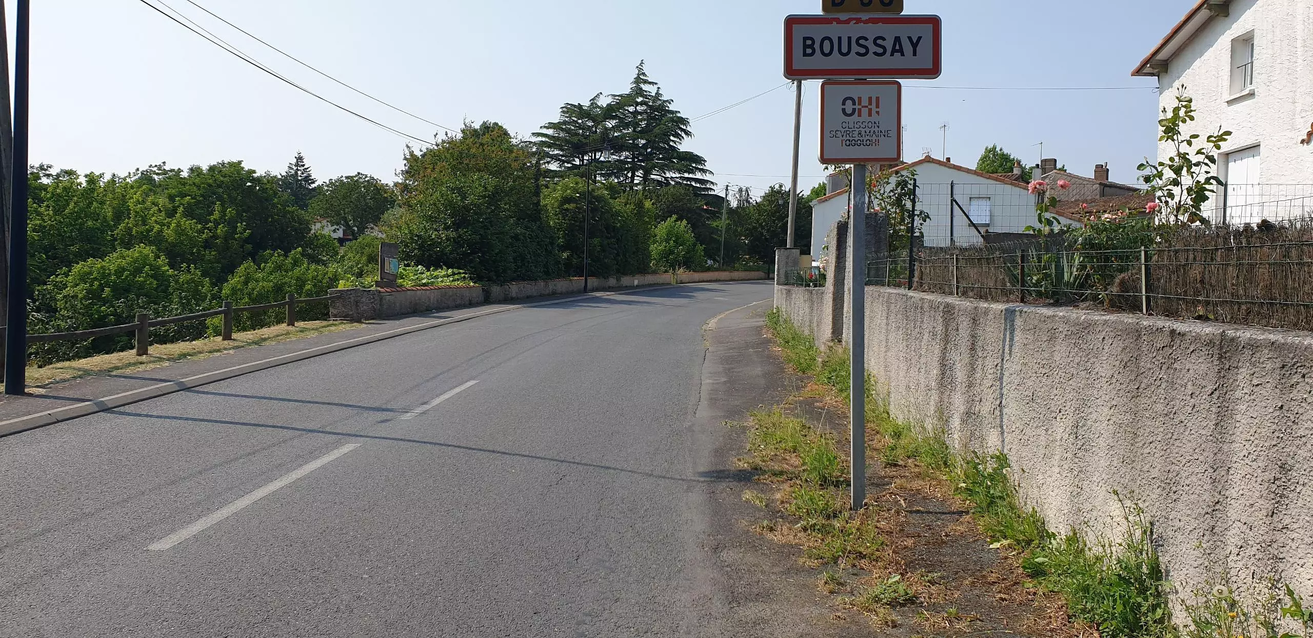
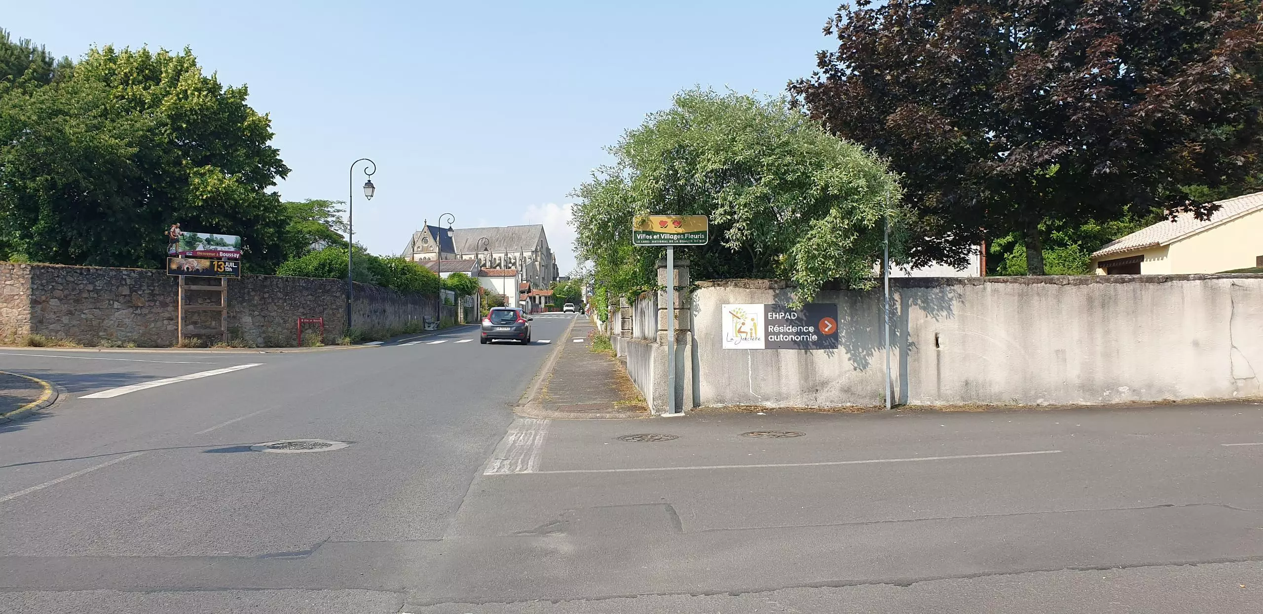
This hiking trail covers 5.401mi starting from Boussay, Loire-Atlantique. The hike is a loop trail and returns to the trailhead. This hike is rated as easy, plan for about 1h44m to complete it. The route has an elevation gain of 335ft and an elevation loss of 338ft.
2023 randonnée 8 km 600 j
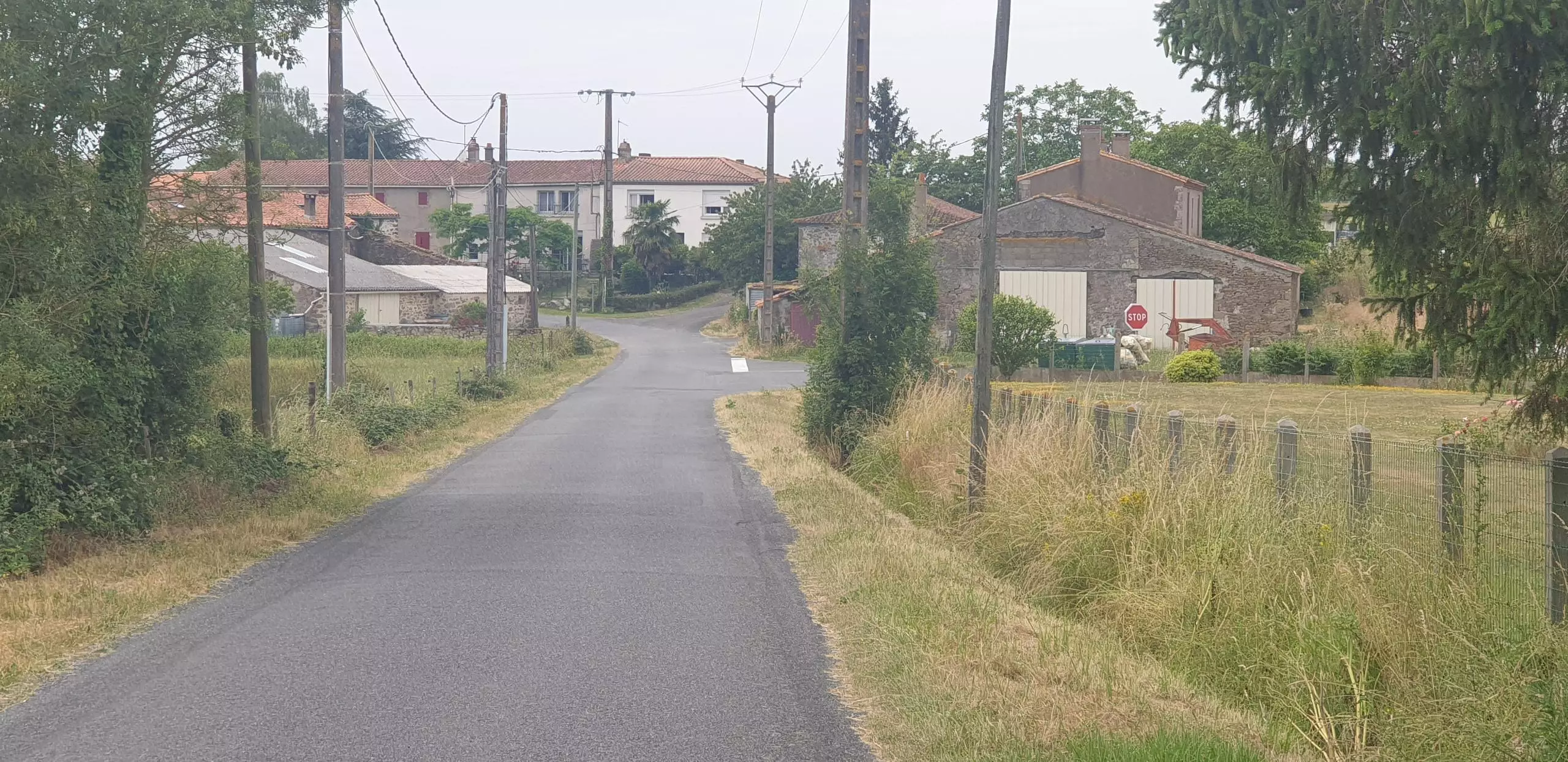
Pan.Manif. Maison Rouge
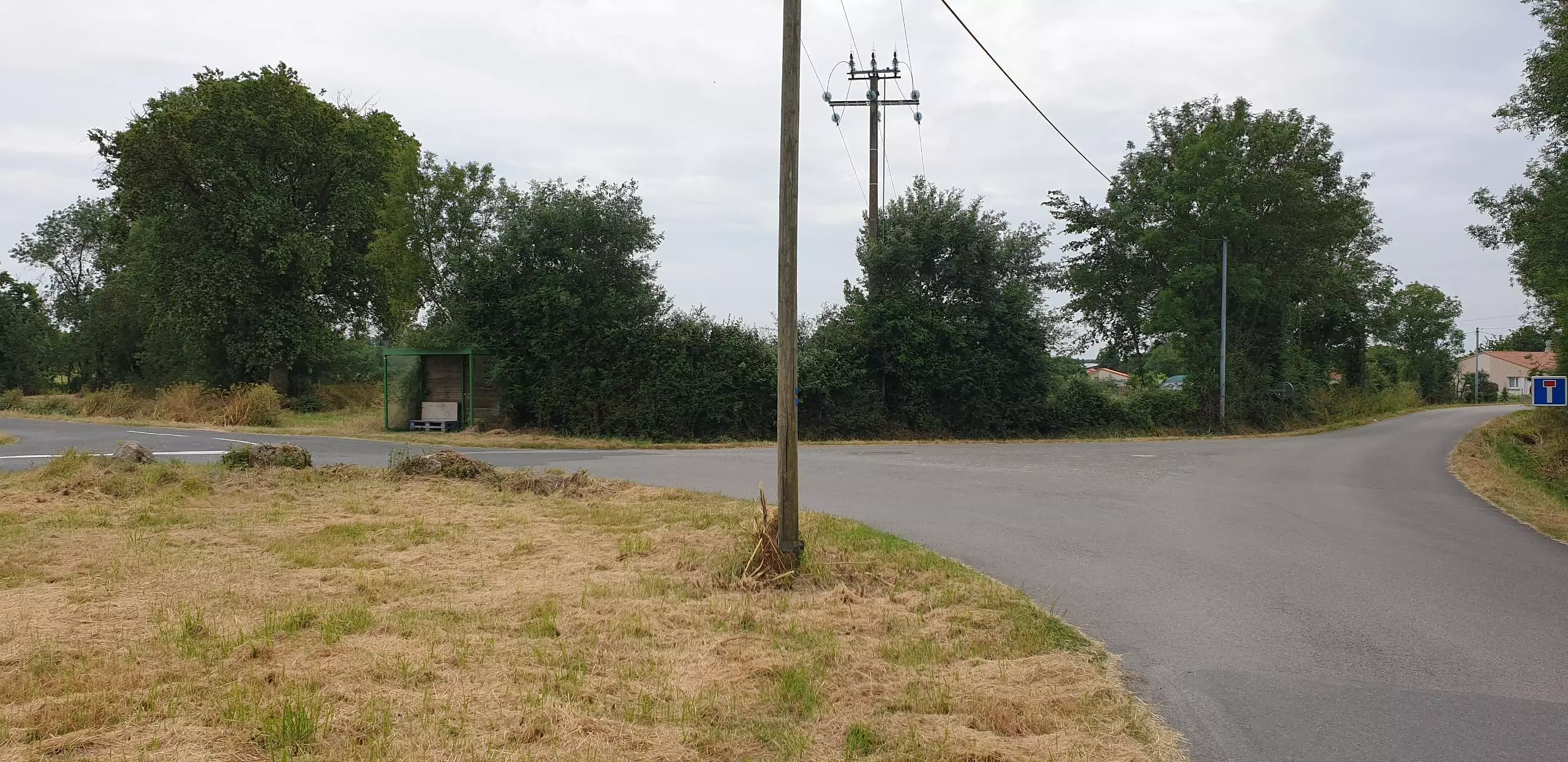
Pan. Manif. Ruffole
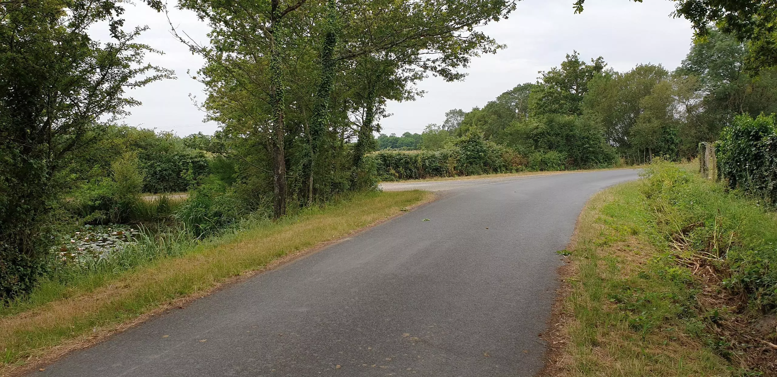
Pan. Manif. l'Herbière
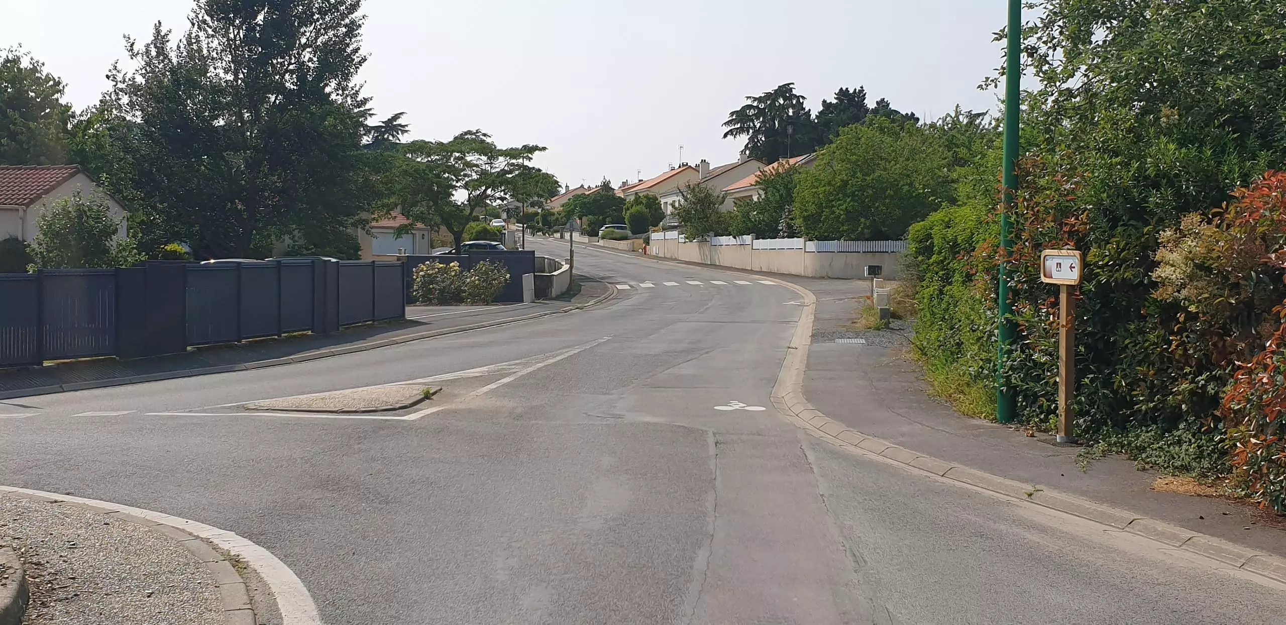
Pan. Manif. rue l'Arceau
Pan. Manif. rue val de sèvre
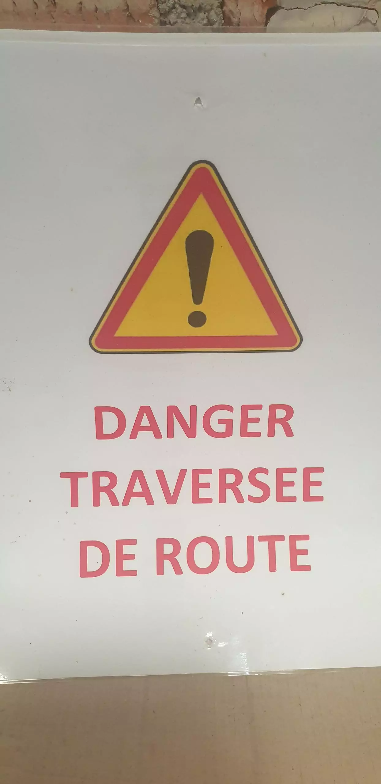


Danger

Danger

Danger
Route details
3.11mph
Speed
744 kcal
Calories burned
2.4%
Avg grade
Loop trail
Route type
105ft
Min altitude
262ft
Max altitude
Route profile
335ft
Elevation gain
338ft
Elevation loss
105ft
Min altitude
262ft
Max altitude
How to get there
Trailhead: 3 Rue Des Genêts, 44190 Boussay, France
GPS coordinates of the trailhead: 47.04427, -1.18886 / 47°2'39'' N, 1°11'19'' W