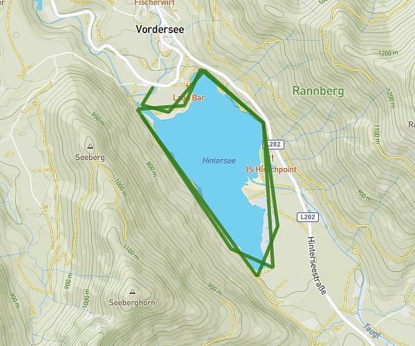
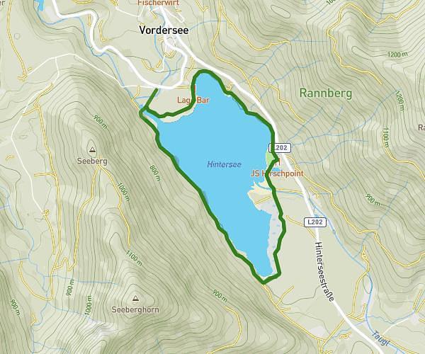
This running route covers 12.254mi starting from Bad Ischl, Upper Austria. The run does not return to the trailhead and ends near Obere Riederstraße 20, 5360 Sankt Gilgen, Austria. This run is rated as strenuous, expect about 2h11m to complete it. The route has an elevation gain of 1204ft and an elevation loss of 951ft.
Schui
Route details
5.61mph
Speed
1498 kcal
Calories burned
Point to point
Route type
1529ft
Min altitude
1913ft
Max altitude
Route profile
1204ft
Elevation gain
951ft
Elevation loss
1529ft
Min altitude
1913ft
Max altitude
How to get there
Trailhead: Bahnhofstraße 4b, 4820 Bad Ischl, Austria
GPS coordinates of the trailhead: 47.71182, 13.626916 / 47°42'42'' N, 13°37'36'' E