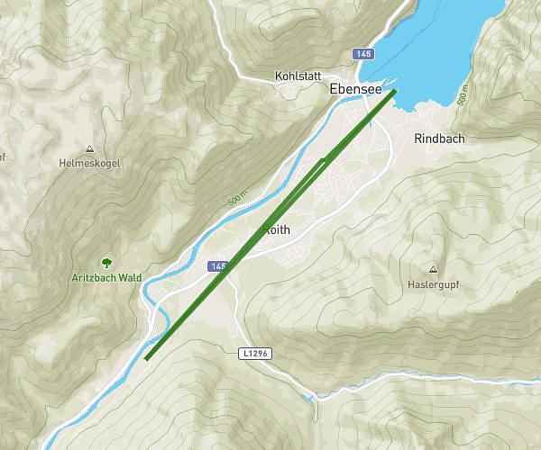
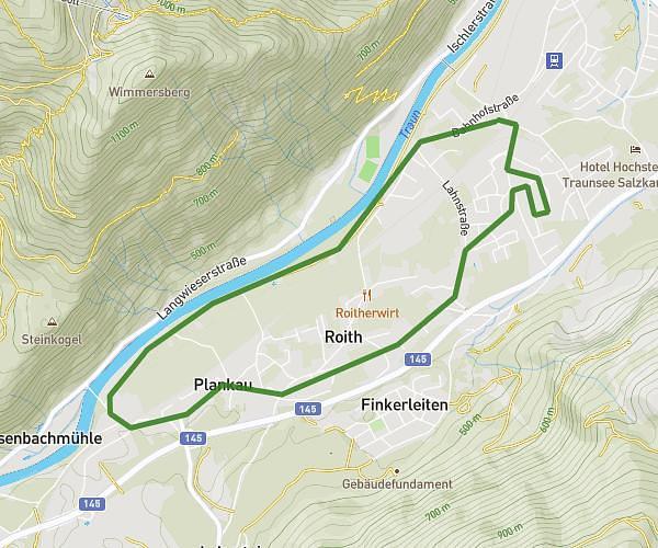
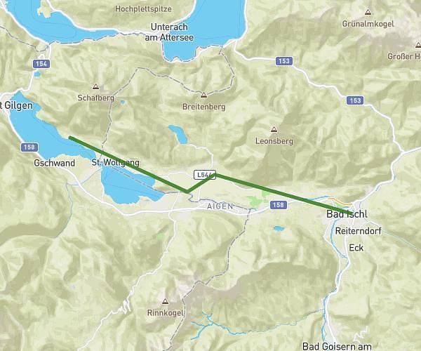
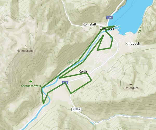
This running route covers 11.037mi starting from Ebensee am Traunsee, Upper Austria. The run is a loop trail and returns to the trailhead. This run is rated as hard, expect about 1h47m to complete it. The route has an elevation gain of 896ft and an elevation loss of 892ft.
17.
Route details
6.19mph
Speed
1223 kcal
Calories burned
Loop trail
Route type
1378ft
Min altitude
1568ft
Max altitude
Route profile
896ft
Elevation gain
892ft
Elevation loss
1378ft
Min altitude
1568ft
Max altitude
How to get there
Trailhead: Bahnhofstraße 67, 4802 Ebensee am Traunsee, Austria
GPS coordinates of the trailhead: 47.80161, 13.767432 / 47°48'5'' N, 13°46'2'' E