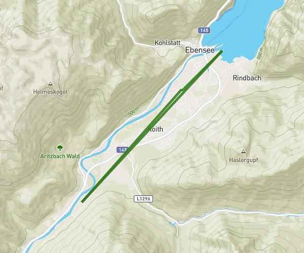
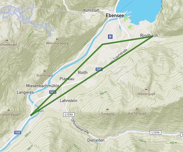
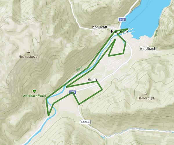
This running route covers 4.158mi starting from Ebensee am Traunsee, Upper Austria. The run is a loop trail and returns to the trailhead. This run is rated as easy, expect about 40m6s to complete it. The route has an elevation gain of 240ft and an elevation loss of 236ft.
Backyard
Route details
6.22mph
Speed
458 kcal
Calories burned
Loop trail
Route type
1385ft
Min altitude
1447ft
Max altitude
Route profile
240ft
Elevation gain
236ft
Elevation loss
1385ft
Min altitude
1447ft
Max altitude
How to get there
Trailhead: Bahnhofstraße 67, 4802 Ebensee am Traunsee, Austria
GPS coordinates of the trailhead: 47.801575, 13.767437 / 47°48'5'' N, 13°46'2'' E