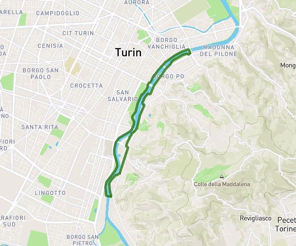
This walking route covers 16.953mi starting from Cambiano, Turin. The walk does not return to the trailhead and ends near Via Regio Parco 72, 10036 Settimo Torinese Turin, Italy. This walk is rated as easy, plan for about 4h45m to complete it. The route has an elevation gain of 669ft and an elevation loss of 771ft.
Da Cambiano a Settimo Torinese
Route details
16:49/mi
Pace
1164 kcal
Calories burned
Point to point
Route type
656ft
Min altitude
1424ft
Max altitude
Route profile
669ft
Elevation gain
771ft
Elevation loss
656ft
Min altitude
1424ft
Max altitude
How to get there
Trailhead: Via Nazionale 66, 10020 Cambiano Turin, Italy
GPS coordinates of the trailhead: 44.96703, 7.77139 / 44°58'1'' N, 7°46'17'' E