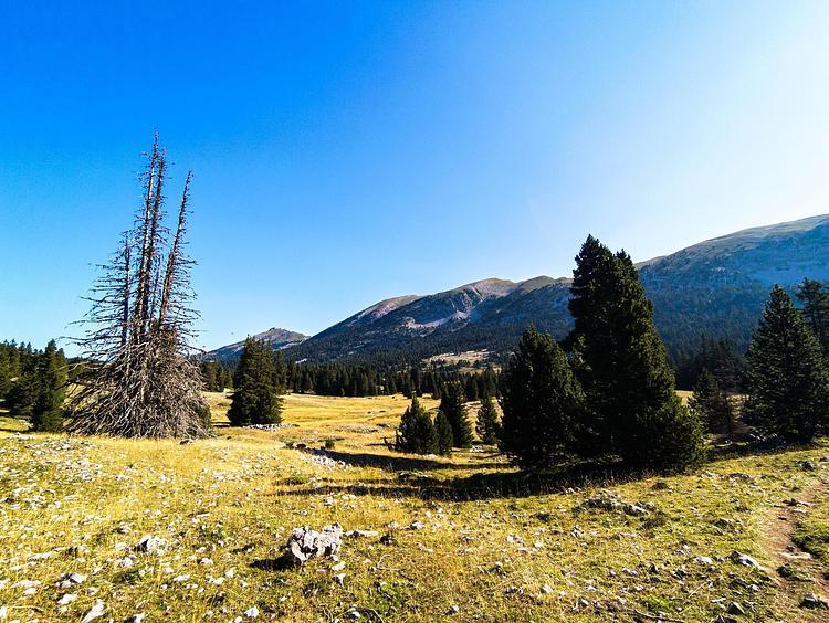
This hiking trail covers 16.834mi starting from Saint-Agnan-en-Vercors, Drôme. The hike is a loop trail and returns to the trailhead. This hike is rated as strenuous, plan for about 6h57m to complete it. The route has an elevation gain of 3510ft and an elevation loss of 3520ft.
St Agnan - Abris de la Jasse
Route details
2.42mph
Speed
3111 kcal
Calories burned
7.9%
Avg grade
Loop trail
Route type
2569ft
Min altitude
5453ft
Max altitude
Route profile
3510ft
Elevation gain
3520ft
Elevation loss
2569ft
Min altitude
5453ft
Max altitude
How to get there
Trailhead: Route De La Vernaison, 26420 Saint-Agnan-en-Vercors
GPS coordinates of the trailhead: 44.93602, 5.43041 / 44°56'9'' N, 5°25'49'' E