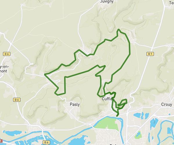
This running route covers 2.184mi starting from Oulchy-la-Ville, Aisne. The run is a loop trail and returns to the trailhead. This run is rated as easy, expect about 21m to complete it. The route has an elevation gain of 243ft and an elevation loss of 243ft.
Balade
Route details
6.24mph
Speed
240 kcal
Calories burned
Loop trail
Route type
404ft
Min altitude
528ft
Max altitude
Route profile
243ft
Elevation gain
243ft
Elevation loss
404ft
Min altitude
528ft
Max altitude
How to get there
Trailhead: Rue Du Gué, 02210 Oulchy-la-Ville
GPS coordinates of the trailhead: 49.2141, 3.3486 / 49°12'50'' N, 3°20'54'' E