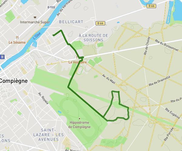
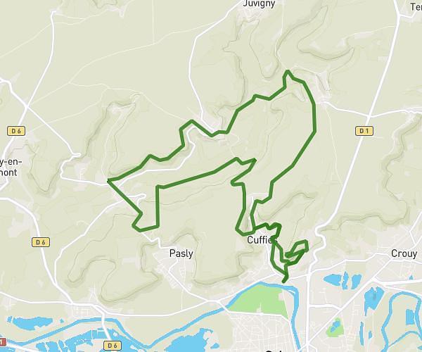
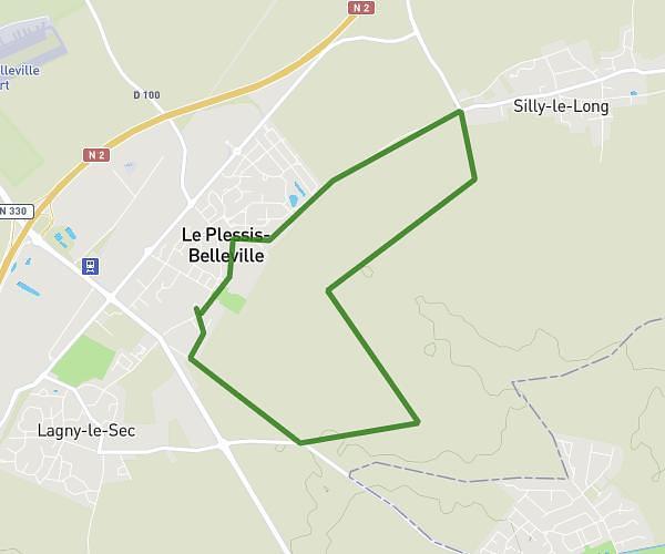
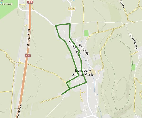
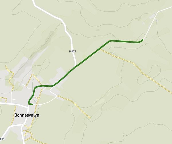
This running route covers 13.625mi starting from Villers-Cotterêts, Aisne. The run does not return to the trailhead and ends near 4 Rue Ernest Roch, 02600 Villers-Cotterêts, France. This run is rated as strenuous, expect about 5h20m to complete it. The route has an elevation gain of 39ft and an elevation loss of 20ft.
villers cotteret
Route details
2.55mph
Speed
3659 kcal
Calories burned
Point to point
Route type
417ft
Min altitude
456ft
Max altitude
Route profile
39ft
Elevation gain
20ft
Elevation loss
417ft
Min altitude
456ft
Max altitude
How to get there
Trailhead: D 231, 02600 Villers-Cotterêts, France
GPS coordinates of the trailhead: 49.254953, 3.079311 / 49°15'17'' N, 3°4'45'' E