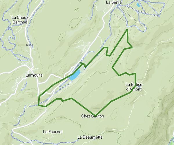
This running route covers 8.648mi starting from Dole, Jura. The run is a loop trail and returns to the trailhead. This run is rated as hard, expect about 1h24m to complete it. The route has an elevation gain of 554ft and an elevation loss of 551ft.
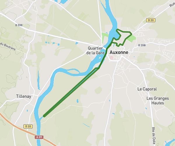
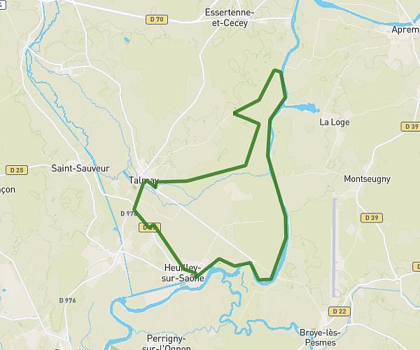
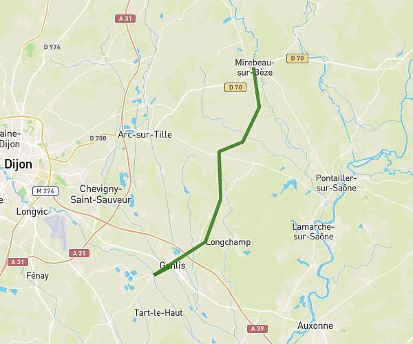
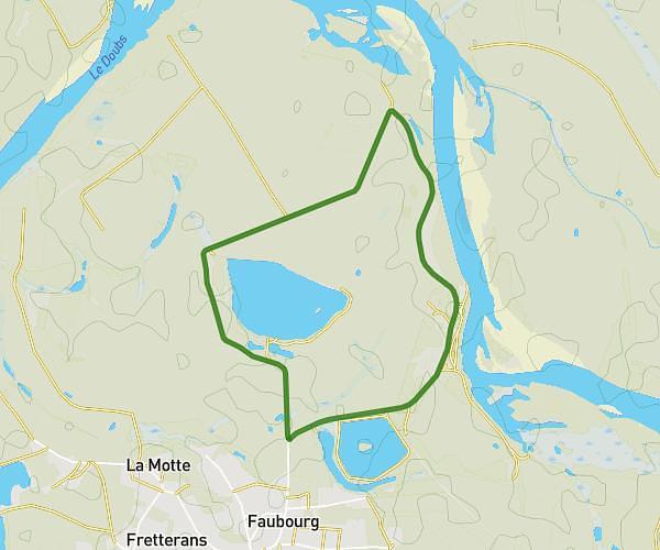
Dole 13,5 km
Route details
6.18mph
Speed
960 kcal
Calories burned
Loop trail
Route type
610ft
Min altitude
725ft
Max altitude
Route profile
554ft
Elevation gain
551ft
Elevation loss
610ft
Min altitude
725ft
Max altitude
How to get there
Trailhead: 20 Place Precipiano, 39100 Dole, France
GPS coordinates of the trailhead: 47.08864, 5.48977 / 47°5'19'' N, 5°29'23'' E