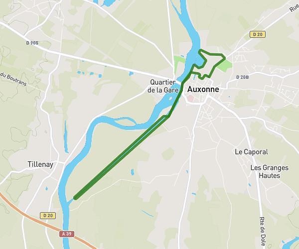
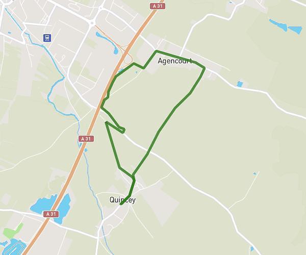
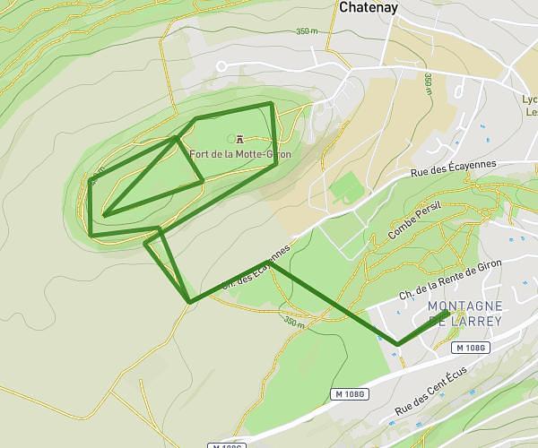
This running route covers 18.536mi starting from Genlis, Côte-d’Or. The run does not return to the trailhead and ends near Chemin Du Routoir, 21310 Mirebeau-sur-Bèze. This run is rated as strenuous, expect about 2m to complete it. The route has an elevation gain of 482ft and an elevation loss of 489ft.
1 00
Route details
556.07mph
Speed
23 kcal
Calories burned
Point to point
Route type
614ft
Min altitude
787ft
Max altitude
Route profile
482ft
Elevation gain
489ft
Elevation loss
614ft
Min altitude
787ft
Max altitude
How to get there
Trailhead: Promenade Aristide Briand, 21110 Genlis
GPS coordinates of the trailhead: 47.24028, 5.21935 / 47°14'25'' N, 5°13'9'' E