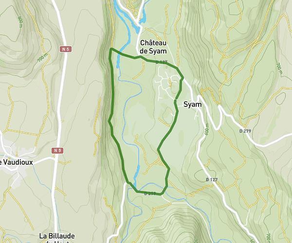
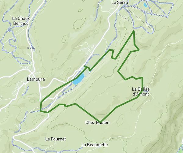
This running route covers 8.554mi starting from Poligny, Jura. The run is a loop trail and returns to the trailhead. This run is rated as hard, expect about 1h32m to complete it. The route has an elevation gain of 410ft and an elevation loss of 518ft.
Croix du dan - Chamole 13.7 kms
Route details
5.58mph
Speed
1052 kcal
Calories burned
Loop trail
Route type
925ft
Min altitude
1440ft
Max altitude
Route profile
410ft
Elevation gain
518ft
Elevation loss
925ft
Min altitude
1440ft
Max altitude
How to get there
Trailhead: 9 Rue Arouca, 39800 Poligny, France
GPS coordinates of the trailhead: 46.83027, 5.69777 / 46°49'48'' N, 5°41'51'' E