MapPlanner
22.533mi
Distance
10h
Duration
+5902ft
Elevation gain
-2861ft
Elevation loss
Moderate
Level

ramo 1

Route details

2.26mph
Speed
4547 kcal
Calories burned
7.4%
Avg grade
Point to point
Route type
3304ft
Min altitude
6348ft
Max altitude

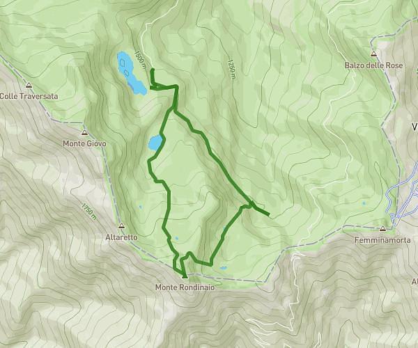
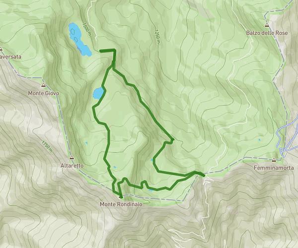
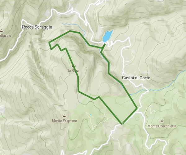
This hiking trail covers 22.533mi starting from Villa Minozzo, Reggio Emilia. The hike does not return to the trailhead and ends near 42032, Ventasso, Reggio Emilia, Italy. This hike is rated as moderate, plan for about 10h to complete it. The route has an elevation gain of 5902ft and an elevation loss of 2861ft.

Description of the route by the creator

from civago to alpe succiso trail 00

(Description automatically translated)

Route profile

5902ft
Elevation gain
2861ft
Elevation loss
3304ft
Min altitude
6348ft
Max altitude

How to get there

Trailhead: Via Ca' Del Ponte 19, 42030 Villa Minozzo Reggio Emilia, Italy

GPS coordinates of the trailhead: 44.25344, 10.47577 / 44°15'12'' N, 10°28'32'' E

Caution: May Cross Private Property

This route may pass through or near private property. Always respect posted signs, obtain permission where required, and follow local trespassing laws. MapPlanner does not guarantee public access along any route.

Safety Notice

Trail and road conditions may change without notice due to weather, construction, or other factors. Always verify current conditions before heading out. You are responsible for your own safety — follow local signage, obey traffic laws, and use your best judgment on the trail.