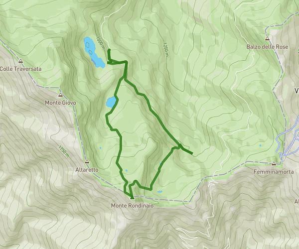
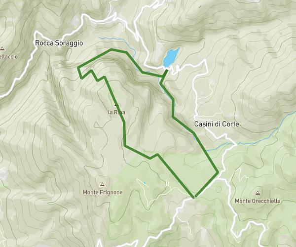
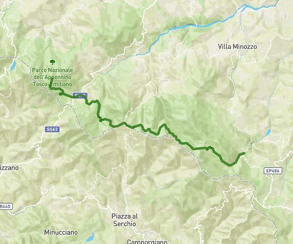
This hiking trail covers 5.544mi starting from Pievepelago, Modena. The hike is a loop trail and returns to the trailhead. This hike is rated as strenuous, plan for about 4h27m to complete it. The route has an elevation gain of 2362ft and an elevation loss of 2336ft.
4 laghi
Route details
1.24mph
Speed
2126 kcal
Calories burned
16.1%
Avg grade
Loop trail
Route type
4869ft
Min altitude
6335ft
Max altitude
Steep climb
Route profile
2362ft
Elevation gain
2336ft
Elevation loss
4869ft
Min altitude
6335ft
Max altitude
How to get there
Trailhead: Via Lago Santo, 41027 Pievepelago Modena, Italy
GPS coordinates of the trailhead: 44.135679, 10.588997 / 44°8'8'' N, 10°35'20'' E