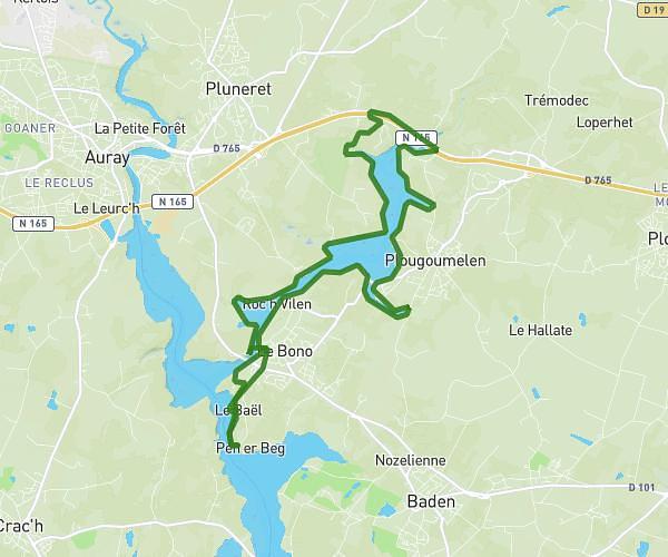
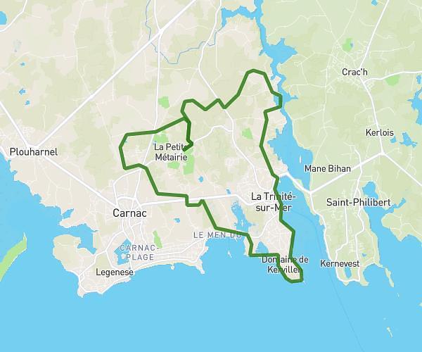
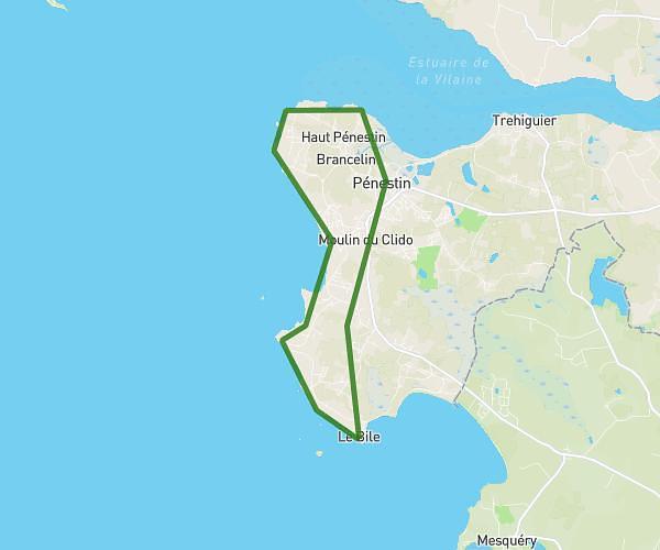
This running route covers 6.235mi starting from Vannes, Morbihan. The run does not return to the trailhead and ends near 14 Rue Francis Decker, 56000 Vannes, France. This run is rated as moderate, expect about 46m49s to complete it. The route has an elevation gain of 308ft and an elevation loss of 279ft.
Gwened nocturne
Route details
7.99mph
Speed
535 kcal
Calories burned
Point to point
Route type
0ft
Min altitude
82ft
Max altitude
Route profile
308ft
Elevation gain
279ft
Elevation loss
0ft
Min altitude
82ft
Max altitude
How to get there
Trailhead: 8 Rue Gilles Gahinet, 56000 Vannes, France
GPS coordinates of the trailhead: 47.63667, -2.76364 / 47°38'12'' N, 2°45'49'' W