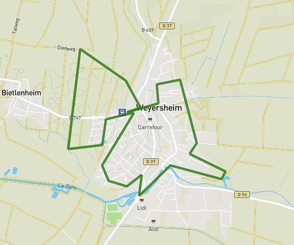
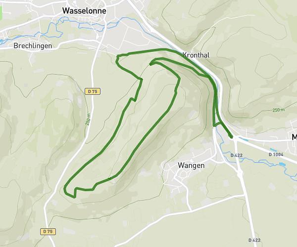
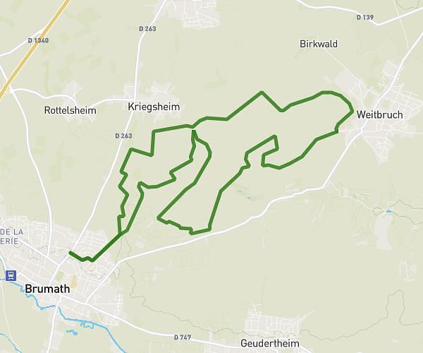
This running route covers 6.646mi starting from Gries, Bas-Rhin. The run is a loop trail and returns to the trailhead. This run is rated as moderate, expect about 1h10m to complete it. The route has an elevation gain of 272ft and an elevation loss of 276ft.
Bischwiller graviere
Route details
5.7mph
Speed
800 kcal
Calories burned
Loop trail
Route type
400ft
Min altitude
489ft
Max altitude
Route profile
272ft
Elevation gain
276ft
Elevation loss
400ft
Min altitude
489ft
Max altitude
How to get there
Trailhead: 24 Rue Du Docteur Albert Schweitzer, 67240 Gries, France
GPS coordinates of the trailhead: 48.75896, 7.81178 / 48°45'32'' N, 7°48'42'' E