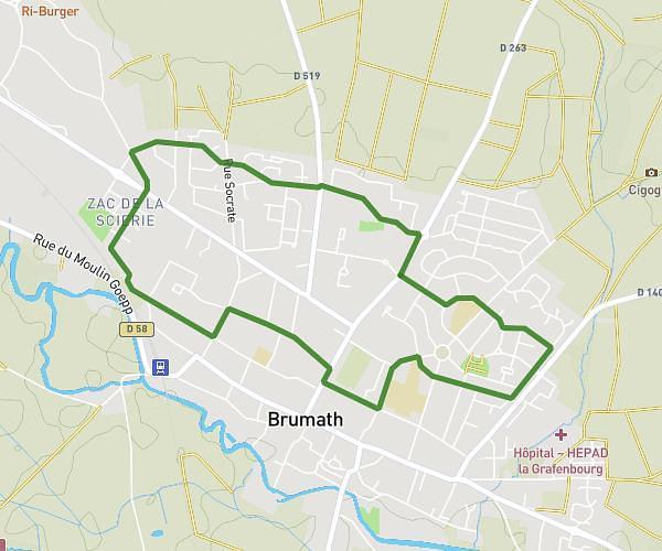
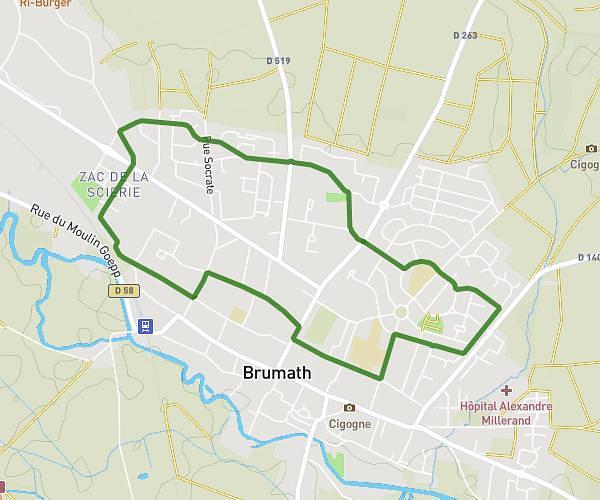
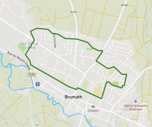
This running route covers 6.912mi starting from Gries, Bas-Rhin. The run does not return to the trailhead and ends near 1 Rue Des Chaumières, 67240 Schirrhein, France. This run is rated as moderate, expect about 1h14m to complete it. The route has an elevation gain of 10ft and an elevation loss of 66ft.
Schirrhein route
Route details
5.6mph
Speed
846 kcal
Calories burned
Point to point
Route type
423ft
Min altitude
479ft
Max altitude
Route profile
10ft
Elevation gain
66ft
Elevation loss
423ft
Min altitude
479ft
Max altitude
How to get there
Trailhead: 26a Rue Du Docteur Albert Schweitzer, 67240 Gries, France
GPS coordinates of the trailhead: 48.75894, 7.81156 / 48°45'32'' N, 7°48'41'' E