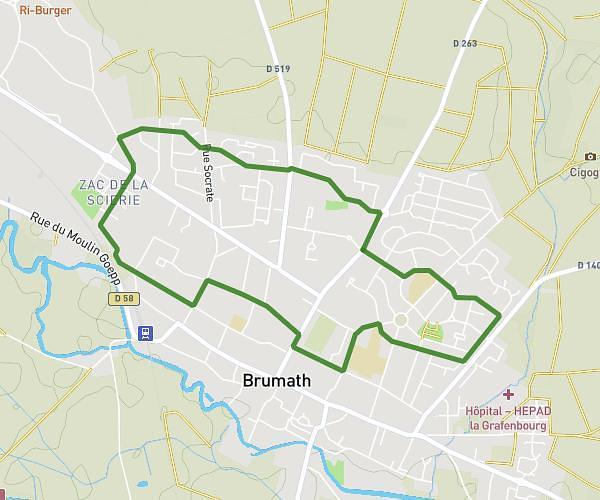
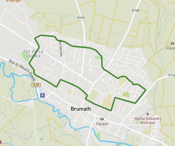
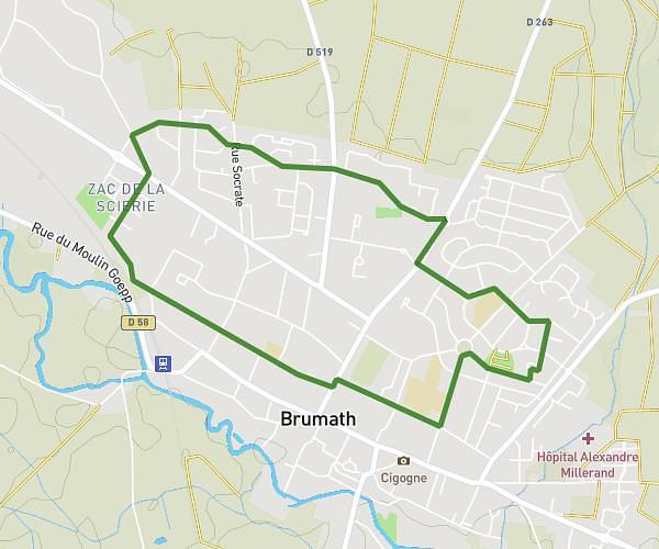
This running route covers 5.11mi starting from Weyersheim, Bas-Rhin. The run is a loop trail and returns to the trailhead. This run is rated as moderate, expect about 54m to complete it. The route has an elevation gain of 26ft and an elevation loss of 7ft.
Weyersheim 8km
Route details
5.68mph
Speed
617 kcal
Calories burned
Loop trail
Route type
410ft
Min altitude
436ft
Max altitude
Route profile
26ft
Elevation gain
7ft
Elevation loss
410ft
Min altitude
436ft
Max altitude
How to get there
Trailhead: 12 Rue Des Prés, 67720 Weyersheim, France
GPS coordinates of the trailhead: 48.71476, 7.80828 / 48°42'53'' N, 7°48'29'' E