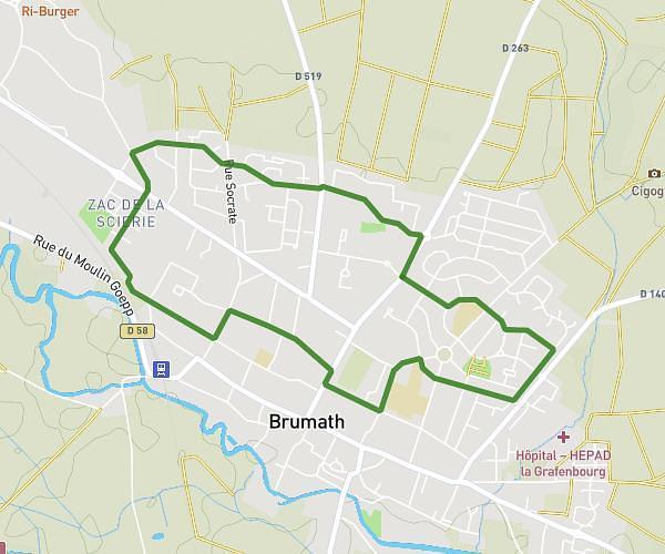
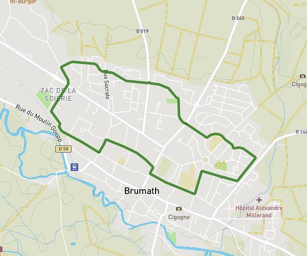
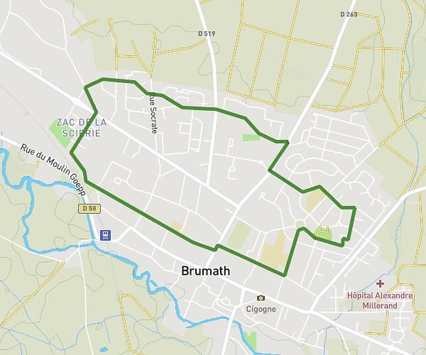
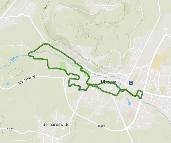
This running route covers 13.801mi starting from Strasbourg, Bas-Rhin. The run is a loop trail and returns to the trailhead. This run is rated as strenuous, expect about 1h45m to complete it. The route has an elevation gain of 358ft and an elevation loss of 361ft.
Course semi Strasbourg
Route details
7.89mph
Speed
1201 kcal
Calories burned
Loop trail
Route type
443ft
Min altitude
495ft
Max altitude
Route profile
358ft
Elevation gain
361ft
Elevation loss
443ft
Min altitude
495ft
Max altitude
How to get there
Trailhead: Cour Du Moulin Zorn, 67000 Strasbourg
GPS coordinates of the trailhead: 48.57936, 7.74146 / 48°34'45'' N, 7°44'29'' E