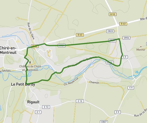
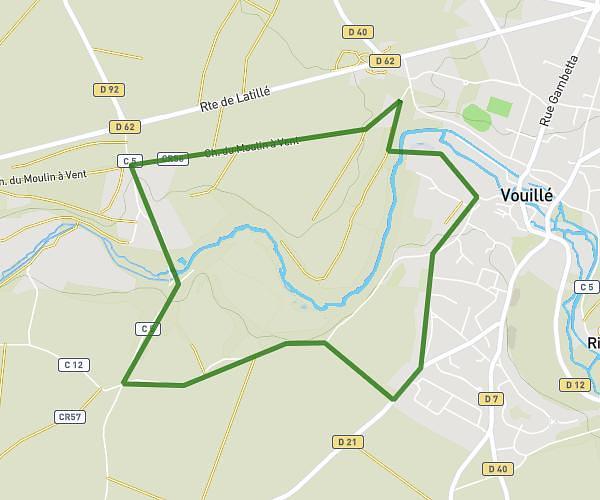
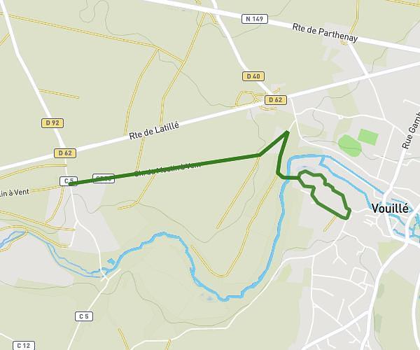
This running route covers 4.276mi starting from Smarves, Vienne. The run is a loop trail and returns to the trailhead. This run is rated as easy, expect about 50m to complete it. The route has an elevation gain of 23ft and an elevation loss of 16ft.
Roche près marie
Route details
5.13mph
Speed
572 kcal
Calories burned
Loop trail
Route type
410ft
Min altitude
433ft
Max altitude
Route profile
23ft
Elevation gain
16ft
Elevation loss
410ft
Min altitude
433ft
Max altitude
How to get there
Trailhead: 1 Rue De La Boulangerie, 86240 Smarves, France
GPS coordinates of the trailhead: 46.509319, 0.350082 / 46°30'33'' N, 0°21'0'' E