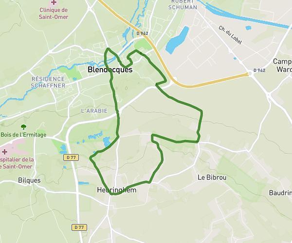
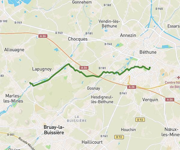
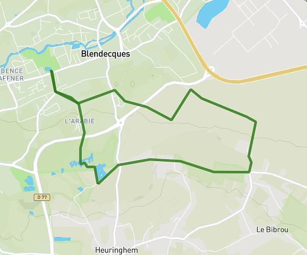
This hiking trail covers 9.281mi starting from Hinges, Pas-de-Calais. The hike is a loop trail and returns to the trailhead. This hike is rated as easy, plan for about 2h42m to complete it. The route has an elevation gain of 282ft and an elevation loss of 279ft.
Hinges,vert bleu, rinchon, Hinges
Route details
3.42mph
Speed
1151 kcal
Calories burned
1.1%
Avg grade
Loop trail
Route type
52ft
Min altitude
148ft
Max altitude
Route profile
282ft
Elevation gain
279ft
Elevation loss
52ft
Min altitude
148ft
Max altitude
How to get there
Trailhead: 850 Rue Du Petit Hinges, 62232 Hinges, France
GPS coordinates of the trailhead: 50.570452, 2.631336 / 50°34'13'' N, 2°37'52'' E