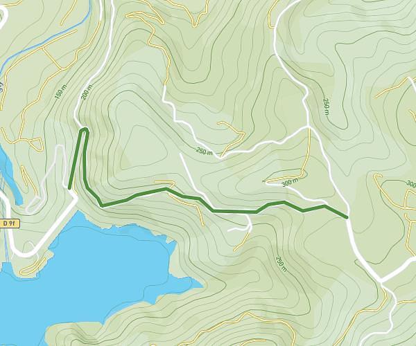
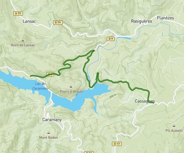
This cycling route covers 3.334mi starting from Sournia, Pyrénées-Orientales. The ride does not return to the trailhead and ends near 66730, Campoussy, Pyrénées-Orientales, France. This route is rated as moderate, plan for about 20m to complete it. The route has an elevation gain of 1385ft and an elevation loss of 131ft.
gkgkjg
Route details
193 kcal
Calories burned
8.6%
Avg grade
Point to point
Route type
1627ft
Min altitude
2923ft
Max altitude
Steep climb
Route profile
1385ft
Elevation gain
131ft
Elevation loss
1627ft
Min altitude
2923ft
Max altitude
How to get there
Trailhead: D 619, 66730 Sournia, France
GPS coordinates of the trailhead: 42.723786, 2.441986 / 42°43'25'' N, 2°26'31'' E