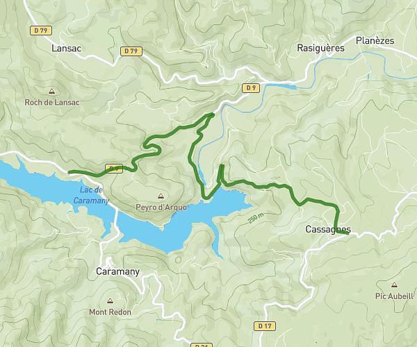
This cycling route covers 1.025mi starting from Cassagnes, Pyrénées-Orientales. The ride does not return to the trailhead and ends near 21 Rue Des Corbières, 66720 Cassagnes, France. This route is rated as easy, plan for about 6m to complete it. The route has an elevation gain of 443ft and an elevation loss of 92ft.
gkgkjgkgg
Route details
58 kcal
Calories burned
9.9%
Avg grade
Point to point
Route type
597ft
Min altitude
951ft
Max altitude
Steep climb
Route profile
443ft
Elevation gain
92ft
Elevation loss
597ft
Min altitude
951ft
Max altitude
How to get there
Trailhead: D 9f, 66720 Cassagnes, France
GPS coordinates of the trailhead: 42.747324, 2.590344 / 42°44'50'' N, 2°35'25'' E