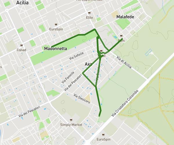
This cycling route covers 5.843mi starting from Roma, Rome. The ride does not return to the trailhead and ends near Via Dei Pescatori 980, 00125 Roma Rome, Italy. This route is rated as easy, plan for about 45m35s to complete it. The route has an elevation gain of 404ft and an elevation loss of 305ft.
Figo
Route details
406 kcal
Calories burned
2.3%
Avg grade
Point to point
Route type
69ft
Min altitude
200ft
Max altitude
Route profile
404ft
Elevation gain
305ft
Elevation loss
69ft
Min altitude
200ft
Max altitude
How to get there
Trailhead: Via Eschilo 110, 00125 Roma Rome, Italy
GPS coordinates of the trailhead: 41.759575, 12.372473 / 41°45'34'' N, 12°22'20'' E