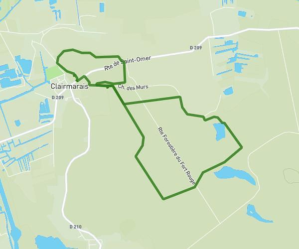
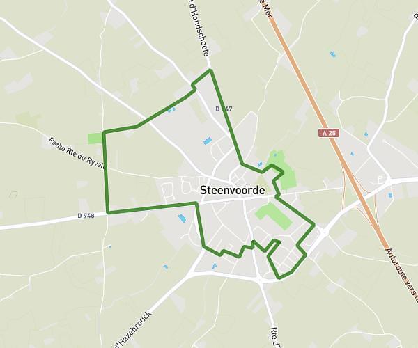
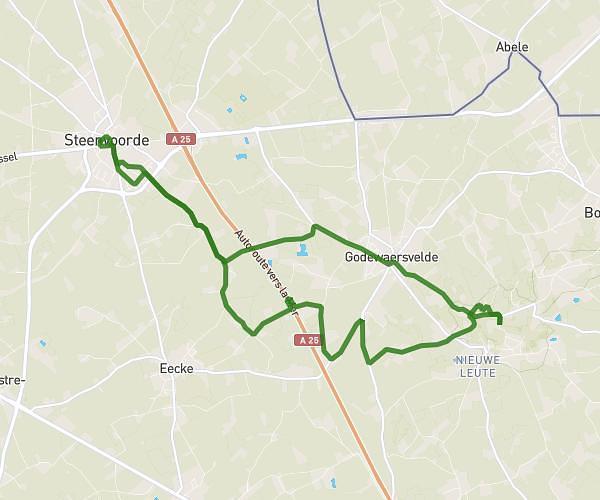
This hiking trail covers 8.966mi starting from Isbergues, Pas-de-Calais. The hike is a loop trail and returns to the trailhead. This hike is rated as easy, plan for about 3h to complete it. The route has an elevation gain of 236ft and an elevation loss of 240ft.
Essai 14km nvx 2026
Route details
2.99mph
Speed
1270 kcal
Calories burned
1.0%
Avg grade
Loop trail
Route type
49ft
Min altitude
131ft
Max altitude
Route profile
236ft
Elevation gain
240ft
Elevation loss
49ft
Min altitude
131ft
Max altitude
How to get there
Trailhead: 3 Rue Edmond Mille, 62330 Isbergues, France
GPS coordinates of the trailhead: 50.608296, 2.467639 / 50°36'29'' N, 2°28'3'' E