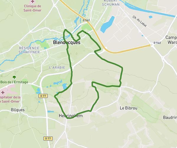
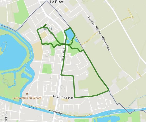
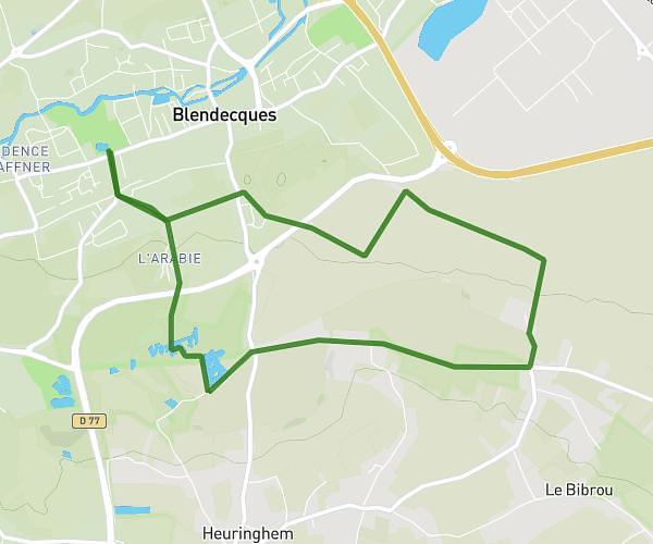
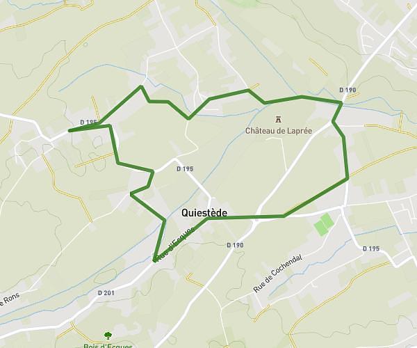
This hiking trail covers 4.618mi starting from Steenvoorde, Nord. The hike is a loop trail and returns to the trailhead. This hike is rated as easy, plan for about 1h35m to complete it. The route has an elevation gain of 240ft and an elevation loss of 240ft.
Tour du moulin
Route details
2.91mph
Speed
676 kcal
Calories burned
2.0%
Avg grade
Loop trail
Route type
59ft
Min altitude
121ft
Max altitude
Route profile
240ft
Elevation gain
240ft
Elevation loss
59ft
Min altitude
121ft
Max altitude
How to get there
Trailhead: 14 Rue Jacques Prévert, 59114 Steenvoorde, France
GPS coordinates of the trailhead: 50.805934, 2.587599 / 50°48'21'' N, 2°35'15'' E