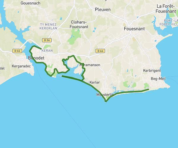
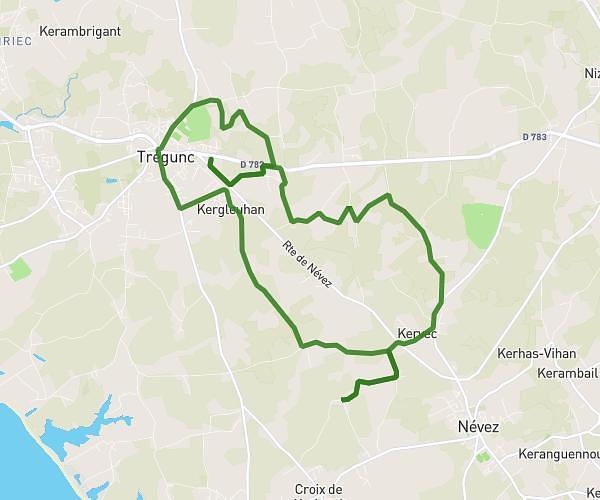
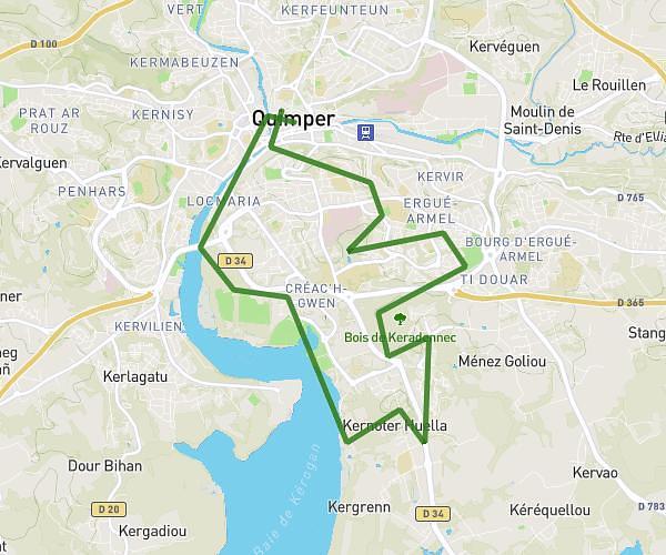
This running route covers 9.126mi starting from Elliant, Finistère. The run does not return to the trailhead and ends near 7 Rue Du Poteau Vert, 29900 Concarneau, France. This run is rated as hard, expect about 1h28m to complete it. The route has an elevation gain of 108ft and an elevation loss of 230ft.
Elliant Conc sp
Route details
6.22mph
Speed
1006 kcal
Calories burned
Point to point
Route type
207ft
Min altitude
436ft
Max altitude
Route profile
108ft
Elevation gain
230ft
Elevation loss
207ft
Min altitude
436ft
Max altitude
How to get there
Trailhead: 1 Chemin De Carn-Zu, 29370 Elliant, France
GPS coordinates of the trailhead: 47.99445, -3.88475 / 47°59'40'' N, 3°53'5'' W