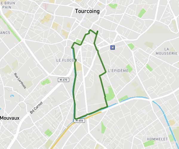
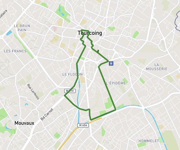
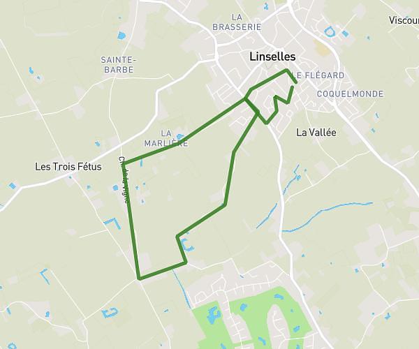
This walking route covers 6.115mi starting from Pecq, Hainaut. The walk does not return to the trailhead and ends near Rue Raoul Van Spitael 19, 7540 Tournai, Hainaut, Belgium. This walk is rated as hard, plan for about 1h58m to complete it. The route has an elevation gain of 302ft and an elevation loss of 308ft.
50Y !!
Route details
19:19/mi
Pace
482 kcal
Calories burned
Point to point
Route type
30ft
Min altitude
125ft
Max altitude
Route profile
302ft
Elevation gain
308ft
Elevation loss
30ft
Min altitude
125ft
Max altitude
How to get there
Trailhead: Rue De Courtrai 89, 7740 Pecq, Hainaut, Belgium
GPS coordinates of the trailhead: 50.68898, 3.3388 / 50°41'20'' N, 3°20'19'' E