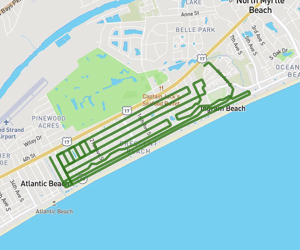
This running route covers 31.205mi starting from Mount Pleasant, South Carolina. The run is a loop trail and returns to the trailhead. This run is rated as strenuous, expect about 3h28m to complete it. The route has an elevation gain of 1539ft and an elevation loss of 1539ft.
Park Circle
Route details
9.0mph
Speed
2379 kcal
Calories burned
Loop trail
Route type
-7ft
Min altitude
56ft
Max altitude
Route profile
1539ft
Elevation gain
1539ft
Elevation loss
-7ft
Min altitude
56ft
Max altitude
How to get there
Trailhead: 218 North Shelmore Boulevard, Mount Pleasant, South Carolina 29464, United States
GPS coordinates of the trailhead: 32.817018, -79.880649 / 32°49'1'' N, 79°52'50'' W