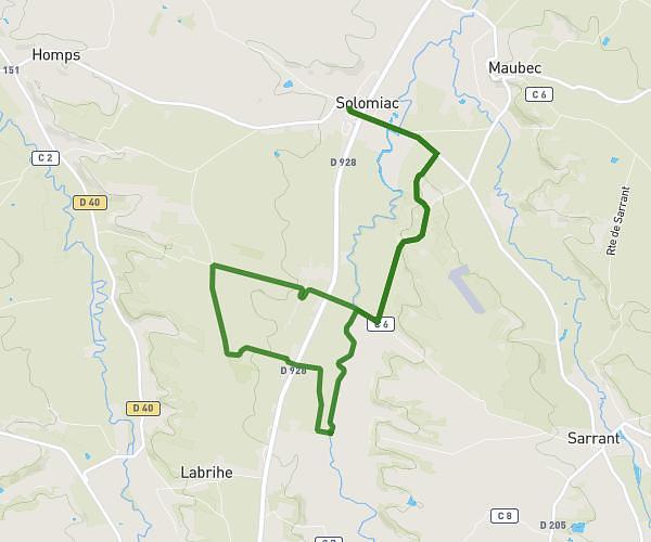
This hiking trail covers 18.348mi starting from Lectoure, Gers. The hike does not return to the trailhead and ends near 714 Chemin De Bagatelle, 32100 Condom, France. This hike is rated as strenuous, plan for about 7h20m to complete it. The route has an elevation gain of 1713ft and an elevation loss of 1834ft.
Etape 13 : Lectoure Condom
Route details
2.5mph
Speed
3171 kcal
Calories burned
3.7%
Avg grade
Point to point
Route type
249ft
Min altitude
696ft
Max altitude
Route profile
1713ft
Elevation gain
1834ft
Elevation loss
249ft
Min altitude
696ft
Max altitude
How to get there
Trailhead: 91 Rue Nationale, 32700 Lectoure, France
GPS coordinates of the trailhead: 43.93482, 0.61946 / 43°56'5'' N, 0°37'10'' E