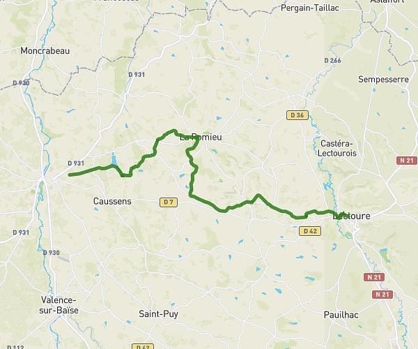
This hiking trail covers 2.767mi starting from Sempesserre, Gers. The hike does not return to the trailhead and ends near 540 Chemin De La Bayne, 47220 Astaffort, France. This hike is rated as easy, plan for about 29m41s to complete it. The route has an elevation gain of 141ft and an elevation loss of 328ft.
Marche - maison > Sandra
Route details
5.59mph
Speed
211 kcal
Calories burned
3.2%
Avg grade
Point to point
Route type
184ft
Min altitude
377ft
Max altitude
Route profile
141ft
Elevation gain
328ft
Elevation loss
184ft
Min altitude
377ft
Max altitude
How to get there
Trailhead: 262 Voie Romaine, 32700 Sempesserre, France
GPS coordinates of the trailhead: 44.041453, 0.65036 / 44°2'29'' N, 0°39'1'' E