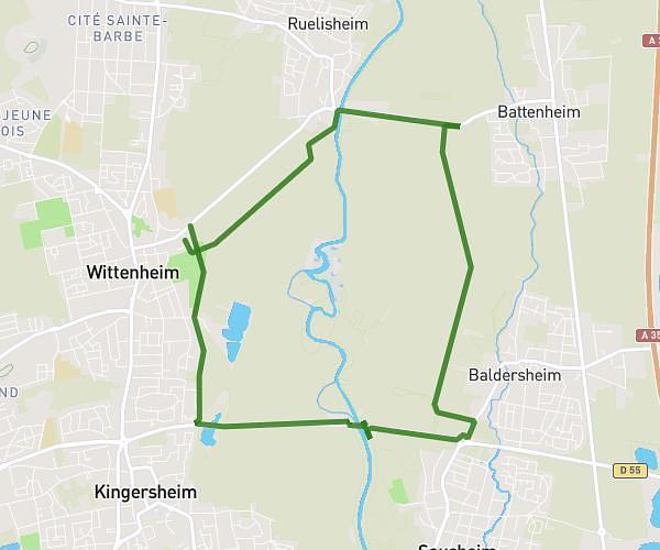
This running route covers 4.726mi starting from Hochstatt, Haut-Rhin. The run is a loop trail and returns to the trailhead. This run is rated as easy, expect about 46m to complete it. The route has an elevation gain of 423ft and an elevation loss of 420ft.
hochstatt 7,5 km
Route details
6.16mph
Speed
526 kcal
Calories burned
Loop trail
Route type
879ft
Min altitude
1073ft
Max altitude
Route profile
423ft
Elevation gain
420ft
Elevation loss
879ft
Min altitude
1073ft
Max altitude
How to get there
Trailhead: Rue De Galfingue, 68720 Hochstatt
GPS coordinates of the trailhead: 47.70148, 7.26958 / 47°42'5'' N, 7°16'10'' E