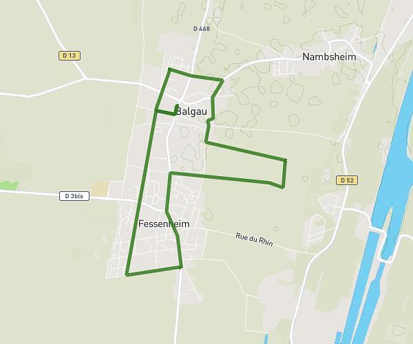
This running route covers 6.317mi starting from Wittenheim, Haut-Rhin. The run is a loop trail and returns to the trailhead. This run is rated as moderate, expect about 1h8m to complete it. The route has an elevation gain of 128ft and an elevation loss of 128ft.
Bbb
Route details
5.55mph
Speed
781 kcal
Calories burned
Loop trail
Route type
725ft
Min altitude
755ft
Max altitude
Route profile
128ft
Elevation gain
128ft
Elevation loss
725ft
Min altitude
755ft
Max altitude
How to get there
Trailhead: 35 Rue De Ruelisheim, 68270 Wittenheim, France
GPS coordinates of the trailhead: 47.81141, 7.34349 / 47°48'41'' N, 7°20'36'' E