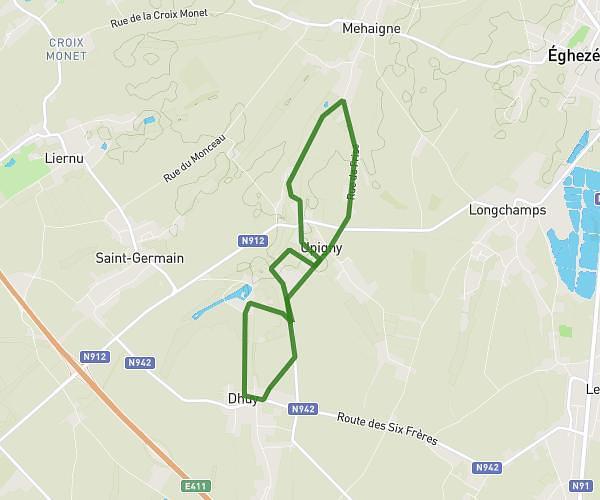
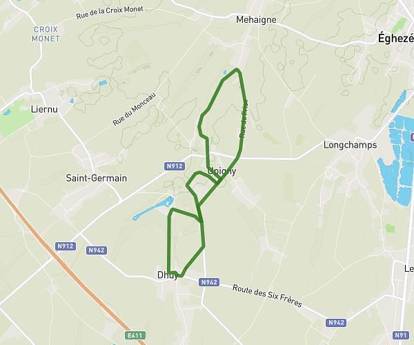
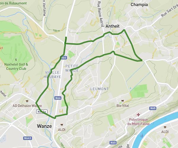
This running route covers 2.138mi starting from Huy, Liege. The run is a loop trail and returns to the trailhead. This run is rated as easy, expect about 21m to complete it. The route has an elevation gain of 784ft and an elevation loss of 784ft.
Fort+dénivelé
Route details
6.11mph
Speed
240 kcal
Calories burned
Loop trail
Route type
226ft
Min altitude
699ft
Max altitude
Route profile
784ft
Elevation gain
784ft
Elevation loss
226ft
Min altitude
699ft
Max altitude
How to get there
Trailhead: Quai De Namur 2, 4500 Huy, Liege, Belgium
GPS coordinates of the trailhead: 50.51945, 5.23801 / 50°31'10'' N, 5°14'16'' E