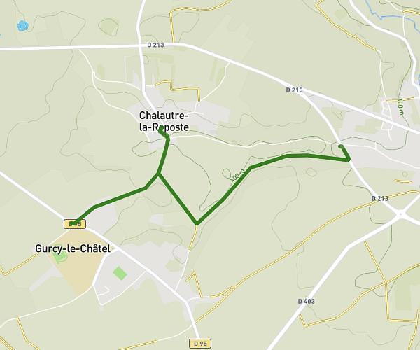
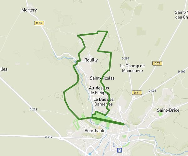
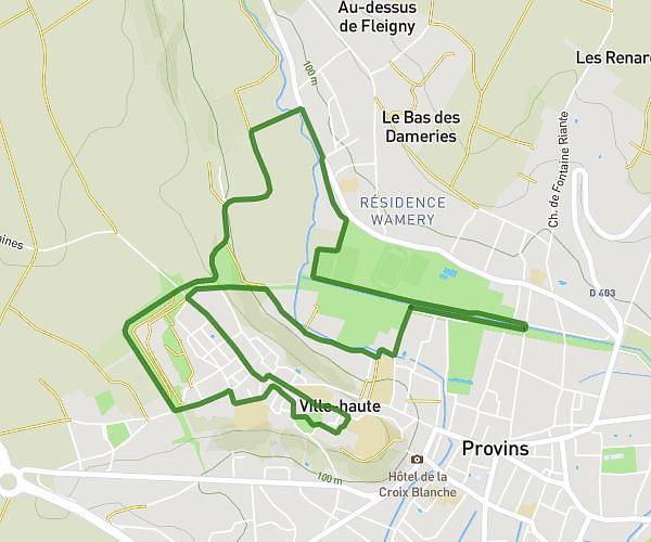
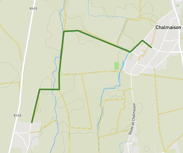
This running route covers 4.389mi starting from Chalmaison, Seine-et-Marne. The run is a loop trail and returns to the trailhead. This run is rated as easy, expect about 47m to complete it. The route has an elevation gain of 400ft and an elevation loss of 400ft.
Moi
Route details
5.6mph
Speed
537 kcal
Calories burned
Loop trail
Route type
210ft
Min altitude
499ft
Max altitude
Route profile
400ft
Elevation gain
400ft
Elevation loss
210ft
Min altitude
499ft
Max altitude
How to get there
Trailhead: 9 Rue Ferdinand Laurrin, 77650 Chalmaison, France
GPS coordinates of the trailhead: 48.47864, 3.24765 / 48°28'43'' N, 3°14'51'' E