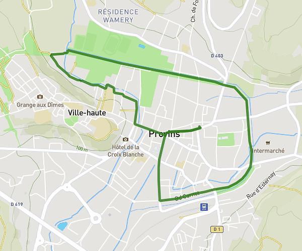
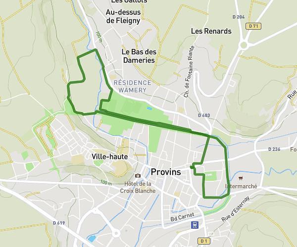
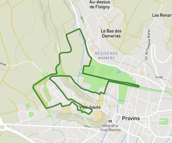
This running route covers 3.233mi starting from Provins, Seine-et-Marne. The run is a loop trail and returns to the trailhead. This run is rated as easy, expect about 1h3m to complete it. The route has an elevation gain of 108ft and an elevation loss of 200ft.
Provins Rouilly 5.2kill 152+
Route details
3.08mph
Speed
720 kcal
Calories burned
Loop trail
Route type
279ft
Min altitude
479ft
Max altitude
Route profile
108ft
Elevation gain
200ft
Elevation loss
279ft
Min altitude
479ft
Max altitude
How to get there
Trailhead: 35 Boulevard D'aligre, 77160 Provins, France
GPS coordinates of the trailhead: 48.564842, 3.294741 / 48°33'53'' N, 3°17'41'' E