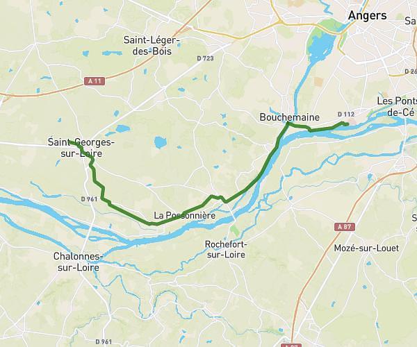
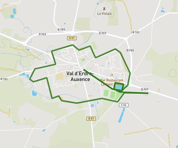
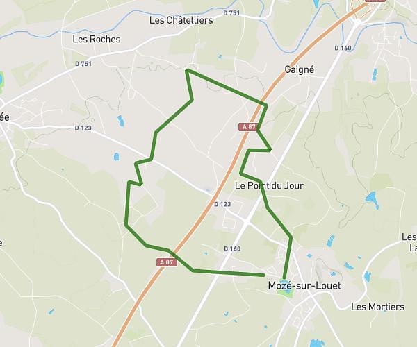
This running route covers 4.554mi starting from Angers, Maine-et-Loire. The run is a loop trail and returns to the trailhead. This run is rated as easy, expect about 50m to complete it. The route has an elevation gain of 13ft and an elevation loss of 10ft.
ANGERS MAINE
Route details
5.46mph
Speed
572 kcal
Calories burned
Loop trail
Route type
49ft
Min altitude
62ft
Max altitude
Route profile
13ft
Elevation gain
10ft
Elevation loss
49ft
Min altitude
62ft
Max altitude
How to get there
Trailhead: 2 Boulevard Du Bon Pasteur, 49000 Angers, France
GPS coordinates of the trailhead: 47.469251, -0.570475 / 47°28'9'' N, 0°34'13'' W