MapPlanner
12.655mi
Distance
4h57m
Duration
18:49/mi
Pace
Easy
Level

26 April 2025 at 15:11

Route details

18:49/mi
Pace
1215 kcal
Calories burned
Loop trail
Route type
896ft
Min altitude
1053ft
Max altitude

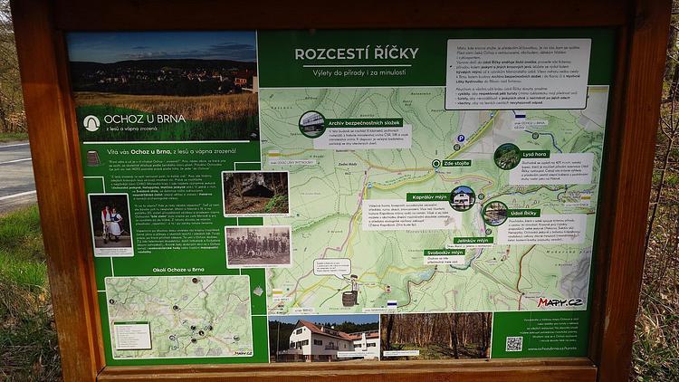
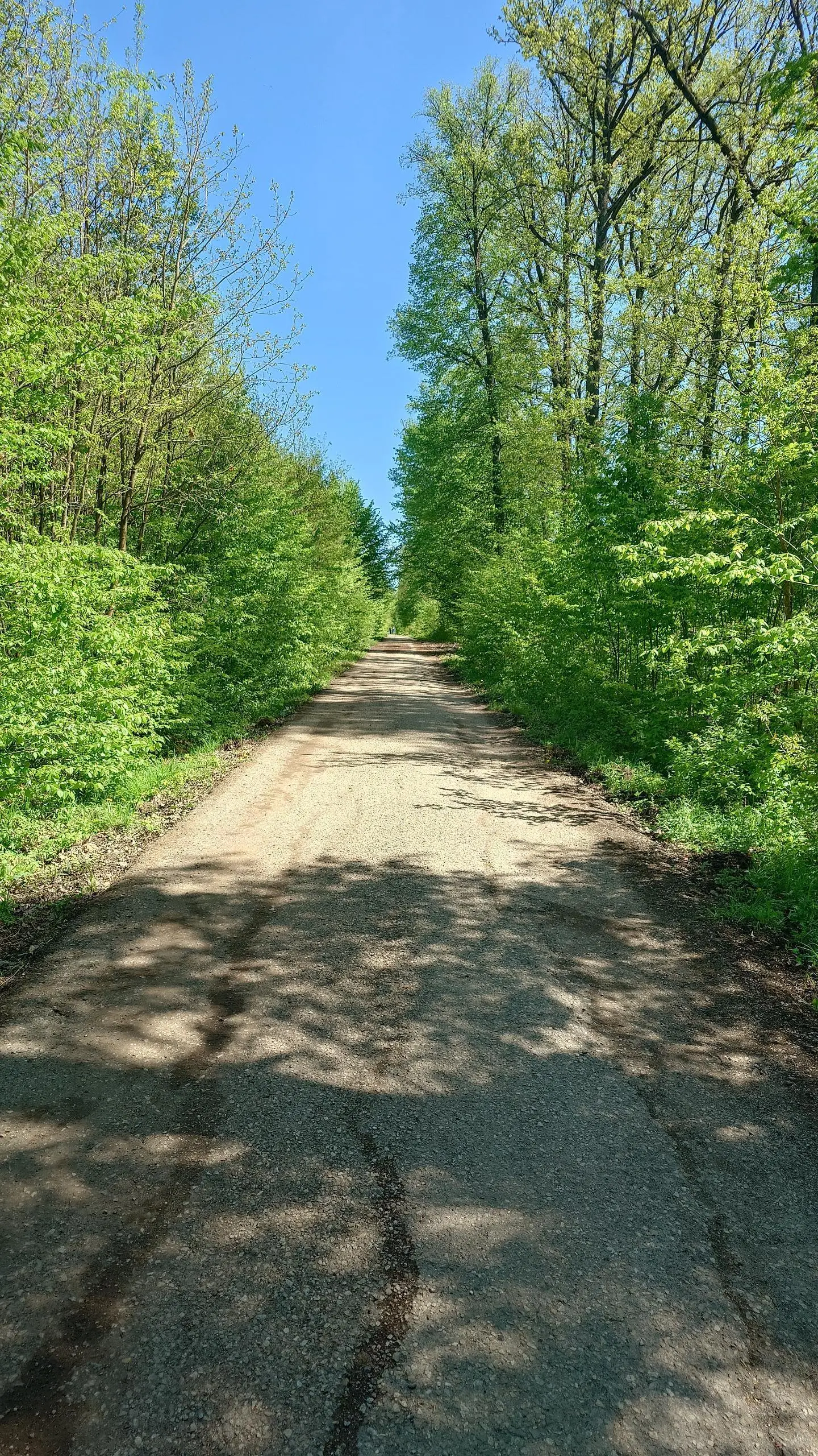
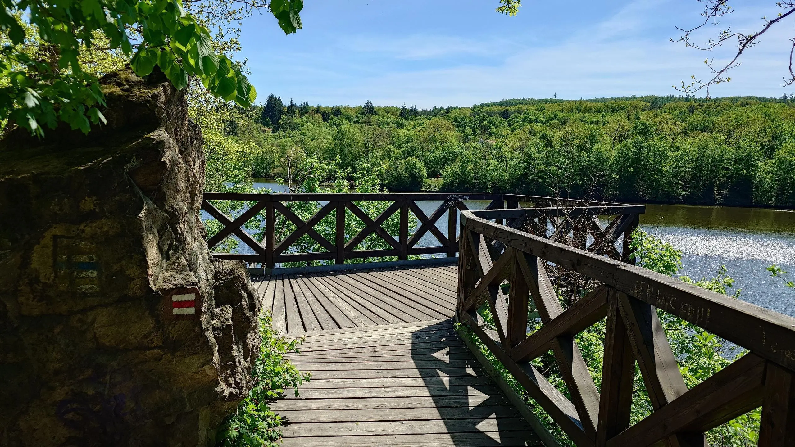
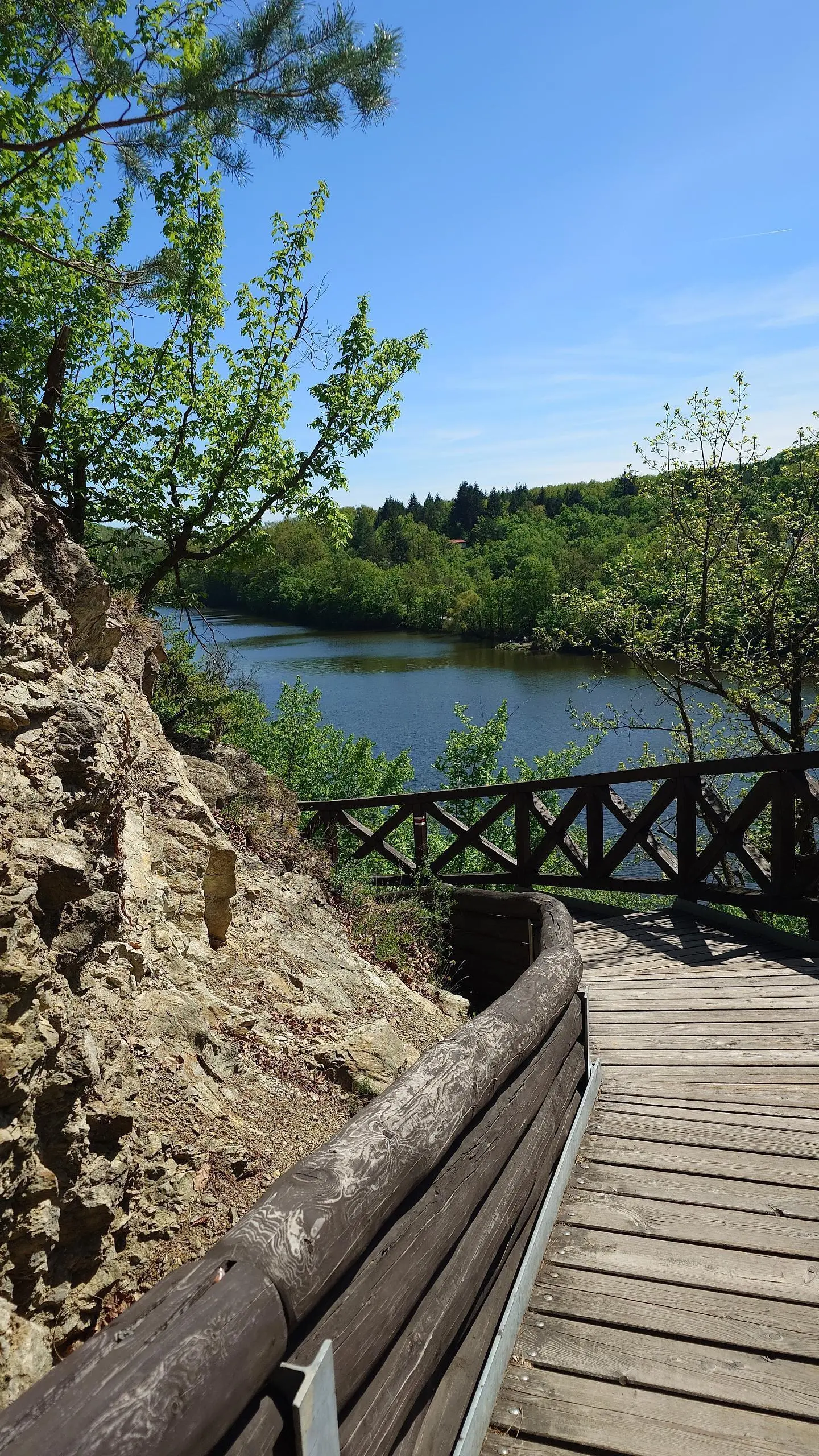
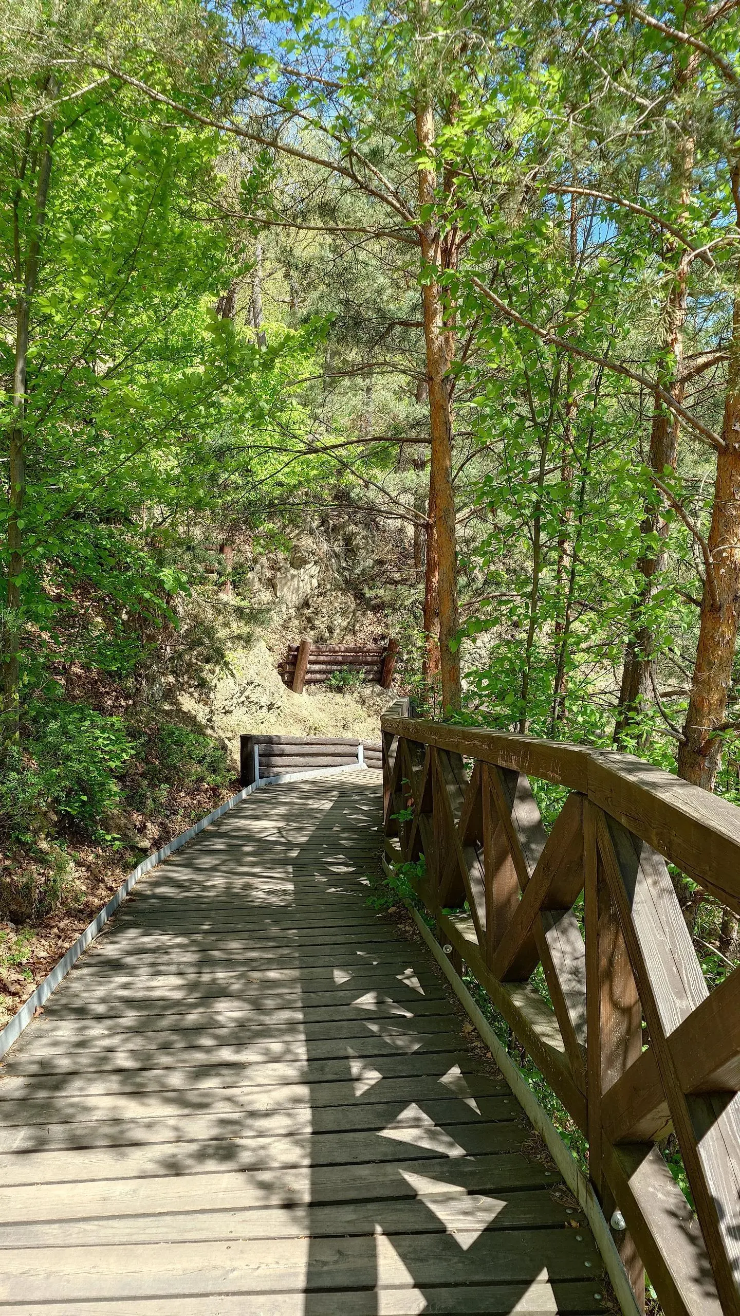
This walking route covers 12.655mi starting from Brno, South Moravian. The walk is a loop trail and returns to the trailhead. This walk is rated as easy, plan for about 4h57m to complete it. The route has an elevation gain of 1486ft and an elevation loss of 1473ft.

Description of the route by the creator

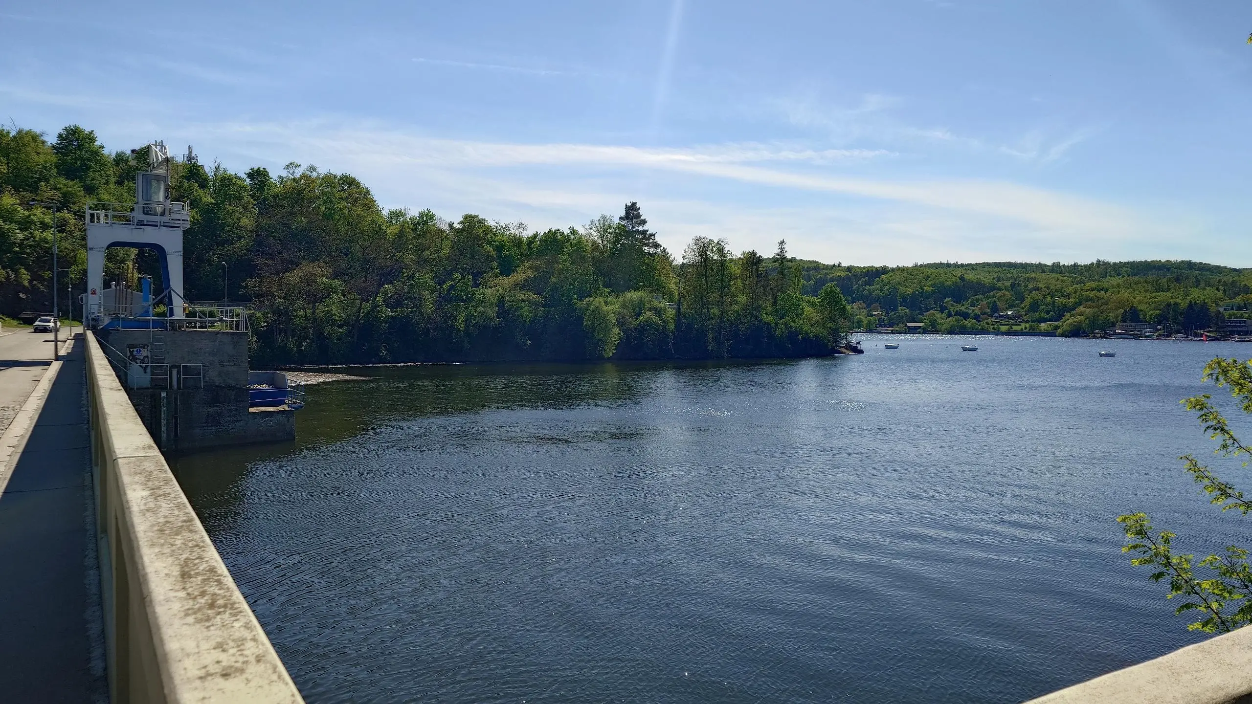
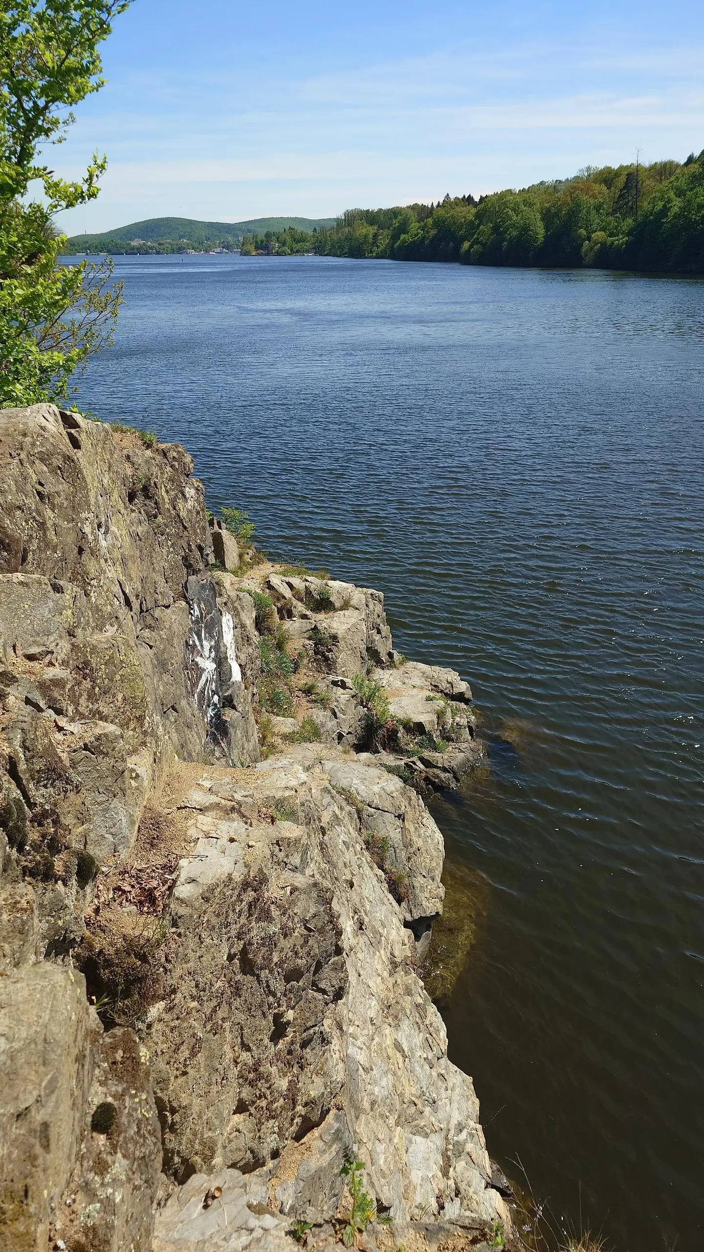
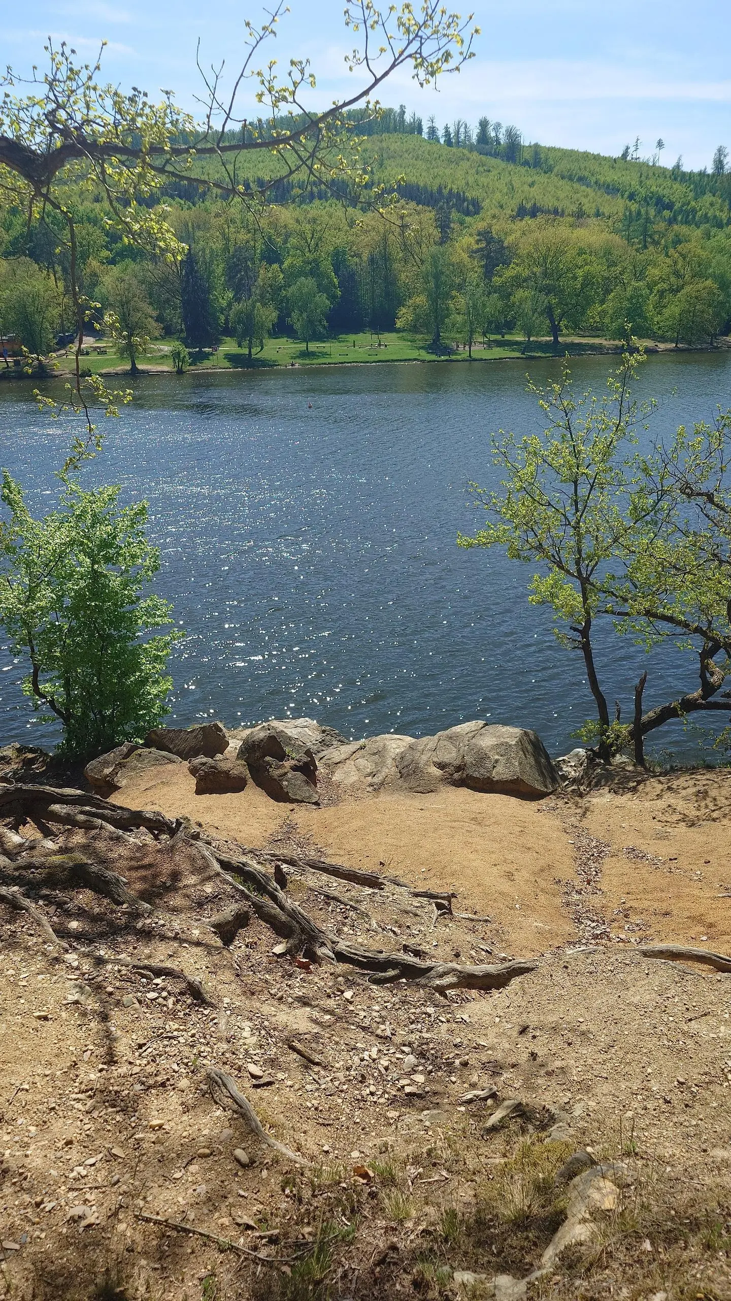
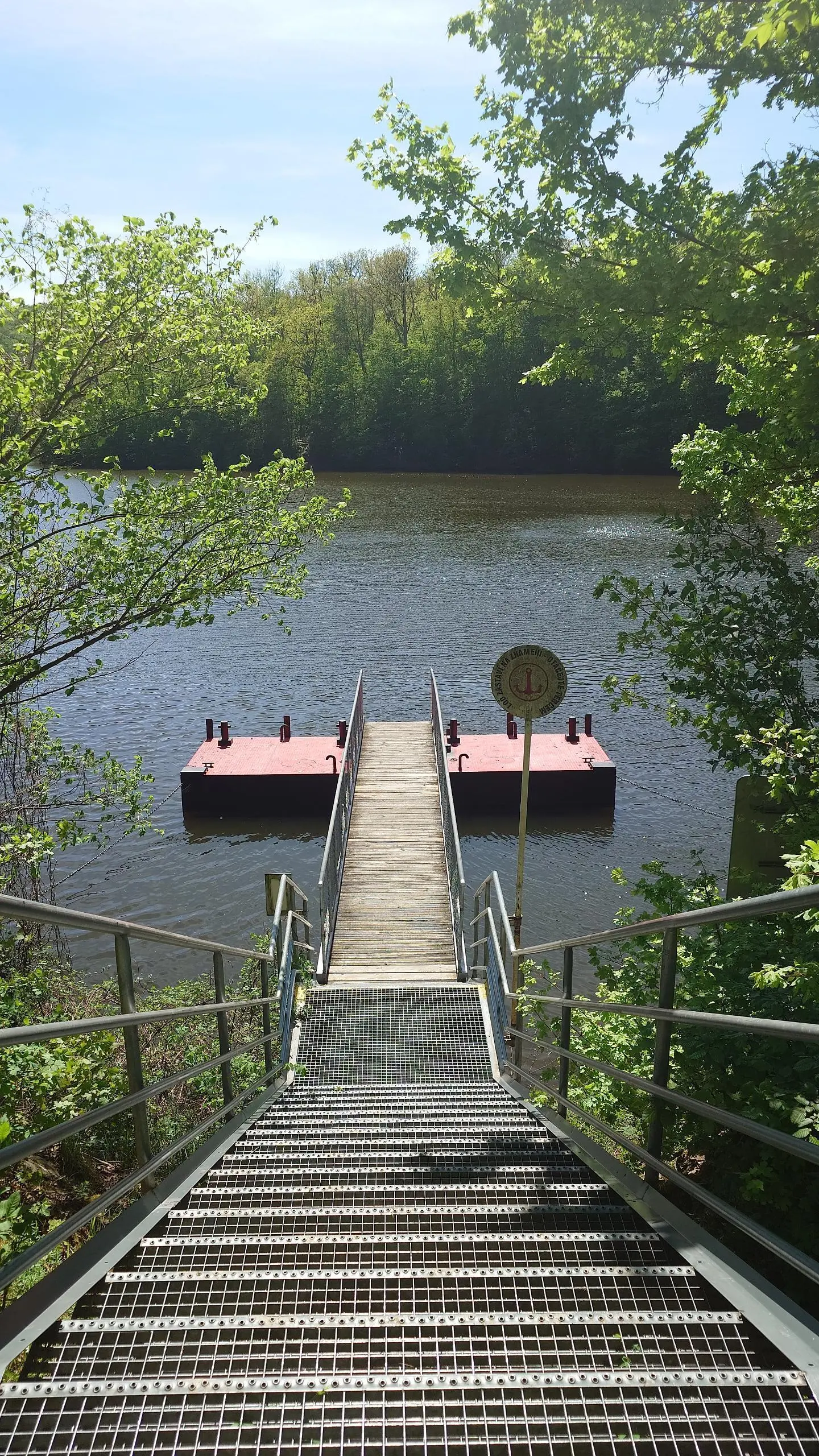
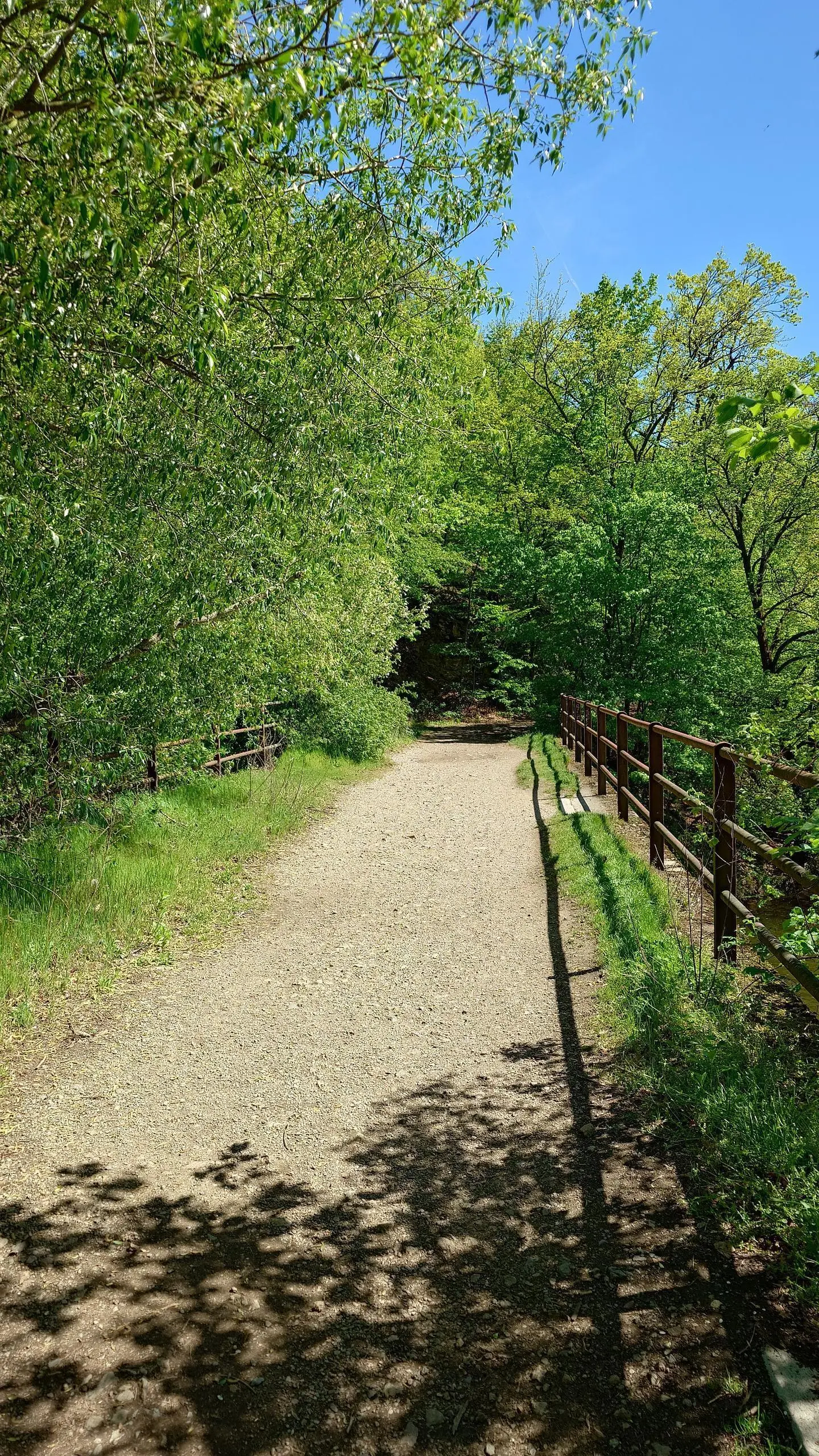
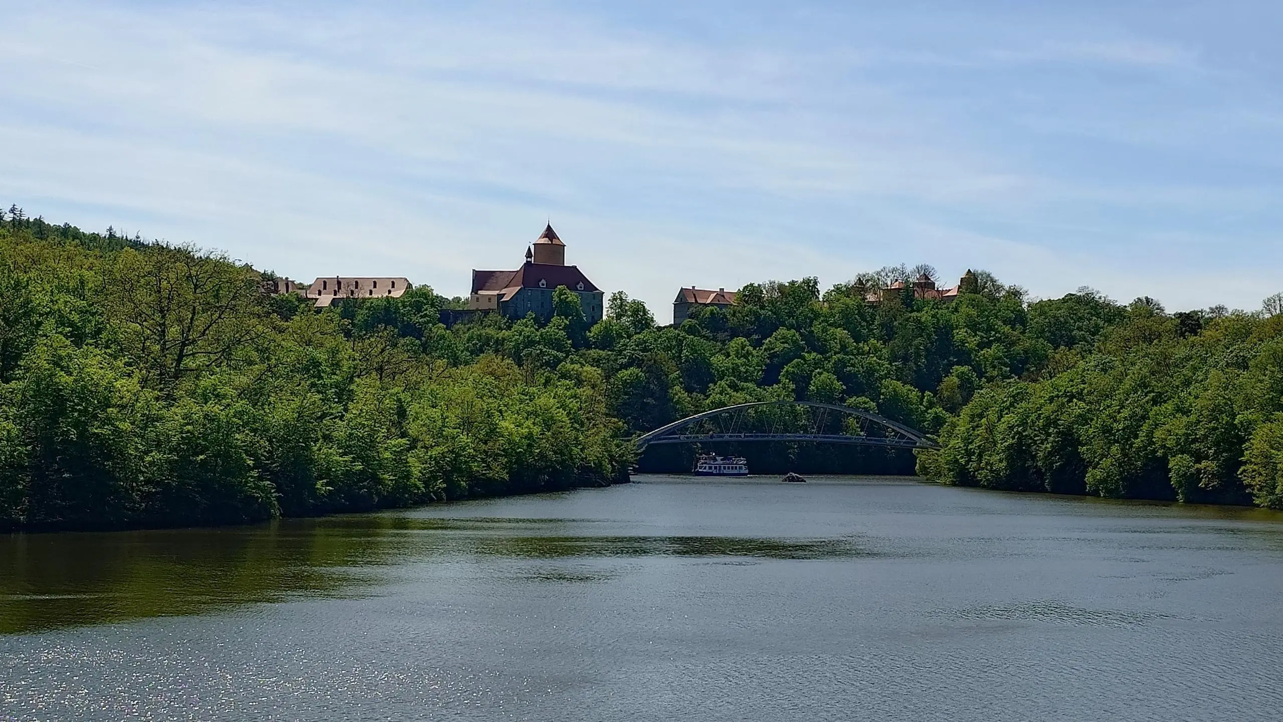
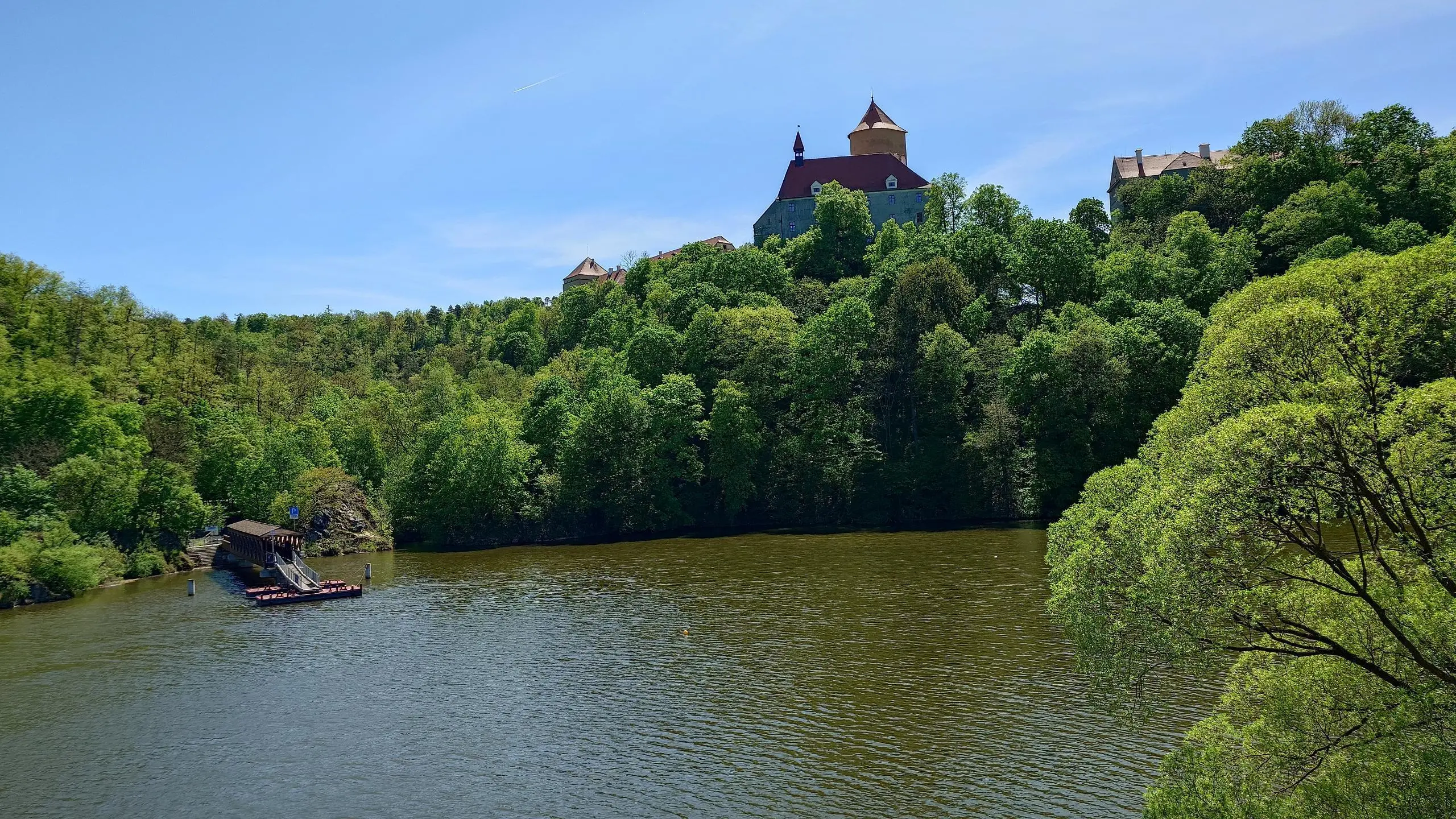
Очень интересный маршрут. Половину пути плыл на корабле. Обратно шел пешком. В целом маршрут не сложный, но в начале, до моста, тропы достаточно узкие и сложность выше.

Route profile

1486ft
Elevation gain
1473ft
Elevation loss
896ft
Min altitude
1053ft
Max altitude

How to get there

Trailhead: Bystrc, 63500 Brno

GPS coordinates of the trailhead: 49.22973, 16.51896 / 49°13'47'' N, 16°31'8'' E

Caution: May Cross Private Property

This route may pass through or near private property. Always respect posted signs, obtain permission where required, and follow local trespassing laws. MapPlanner does not guarantee public access along any route.

Safety Notice

Trail and road conditions may change without notice due to weather, construction, or other factors. Always verify current conditions before heading out. You are responsible for your own safety — follow local signage, obey traffic laws, and use your best judgment on the trail.