MapPlanner
5.581mi
Distance
2h20m
Duration
23:16/mi
Pace
Easy
Level

Říčka u Brna

Route details

23:16/mi
Pace
576 kcal
Calories burned
Point to point
Route type
938ft
Min altitude
1526ft
Max altitude

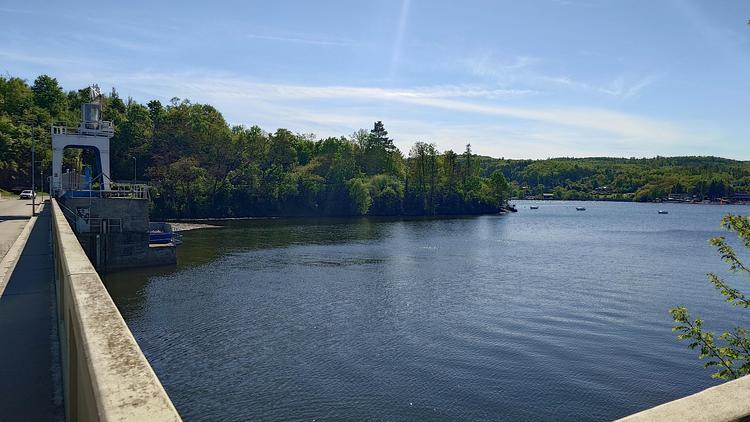
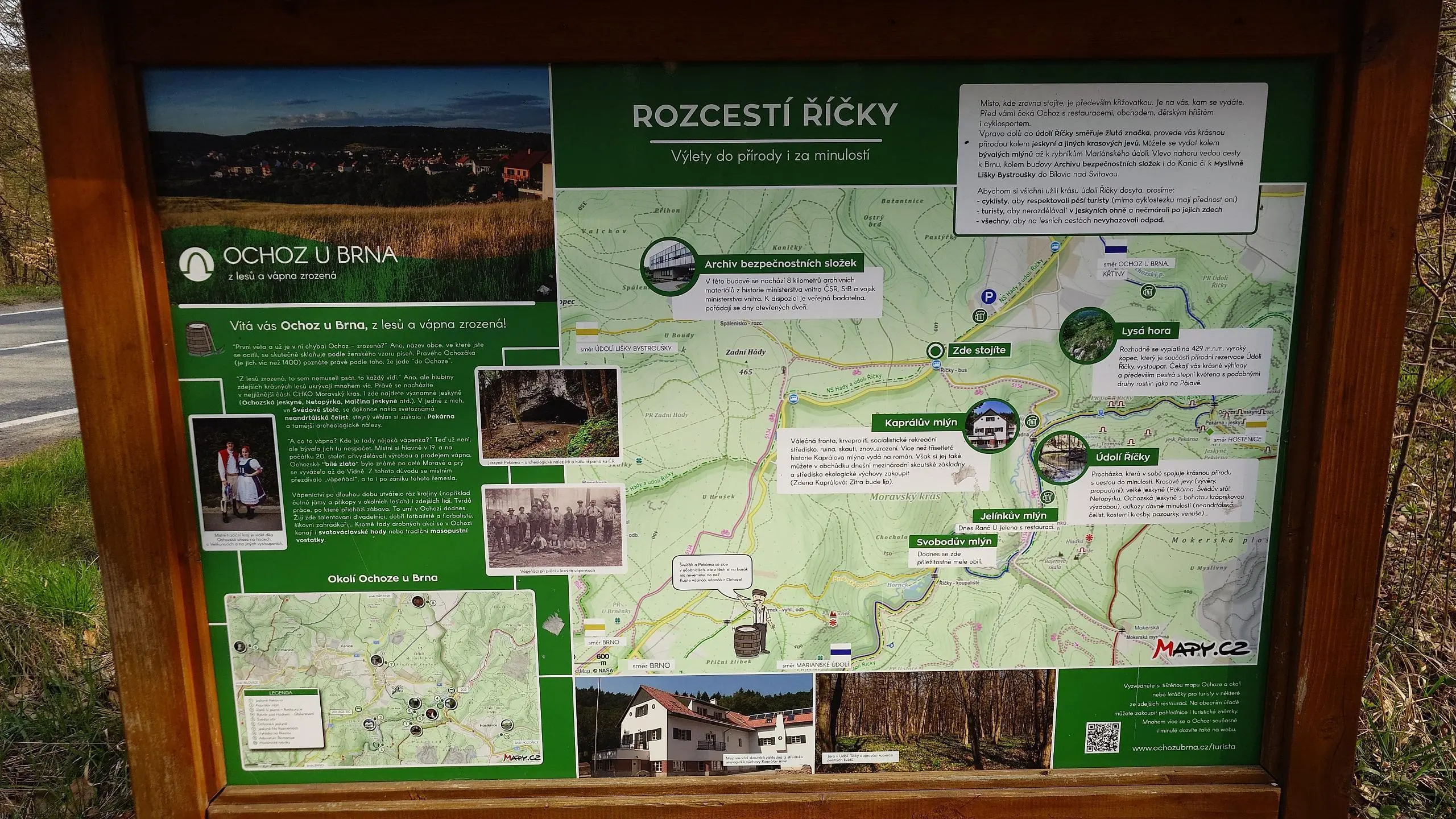
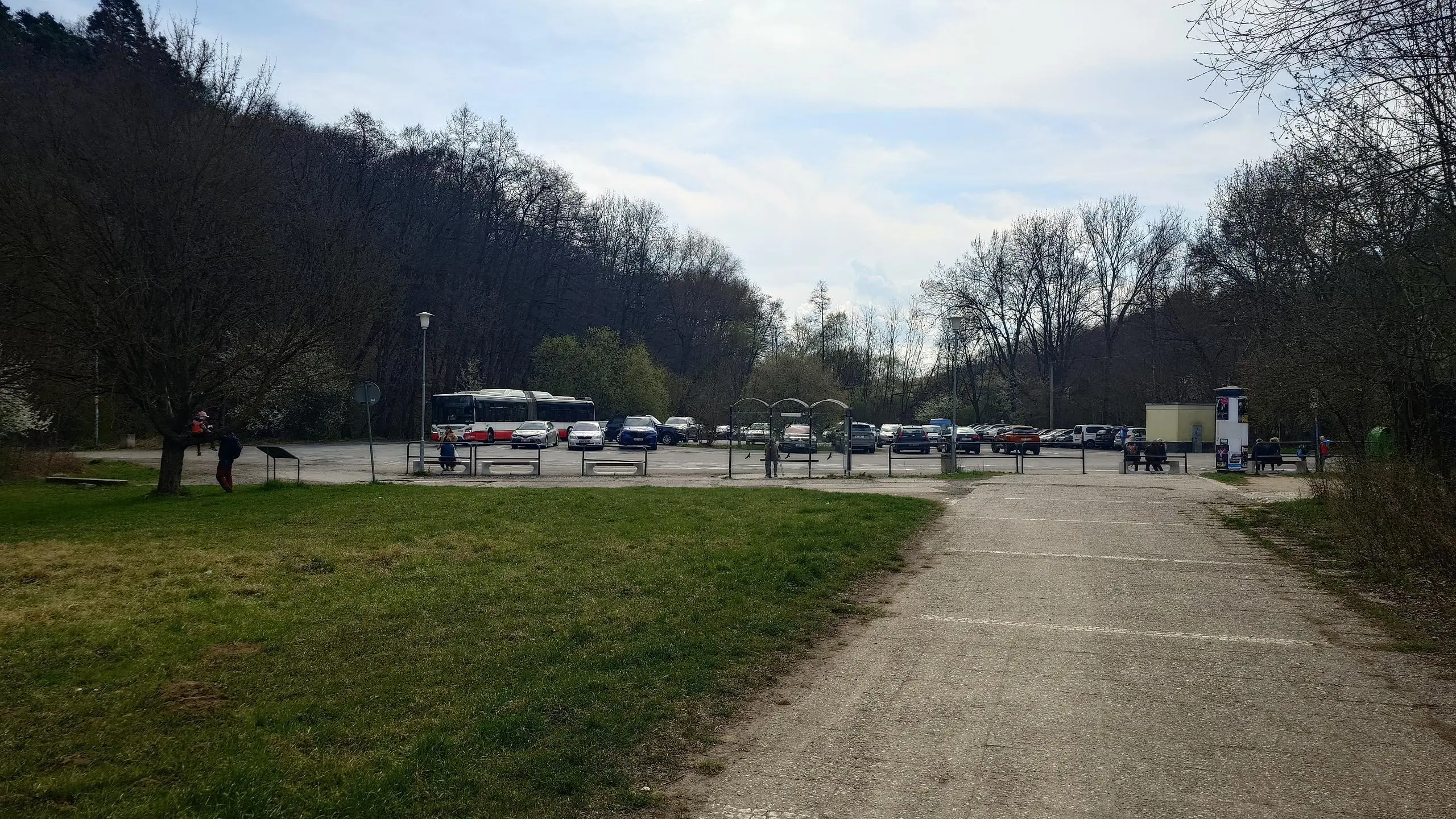
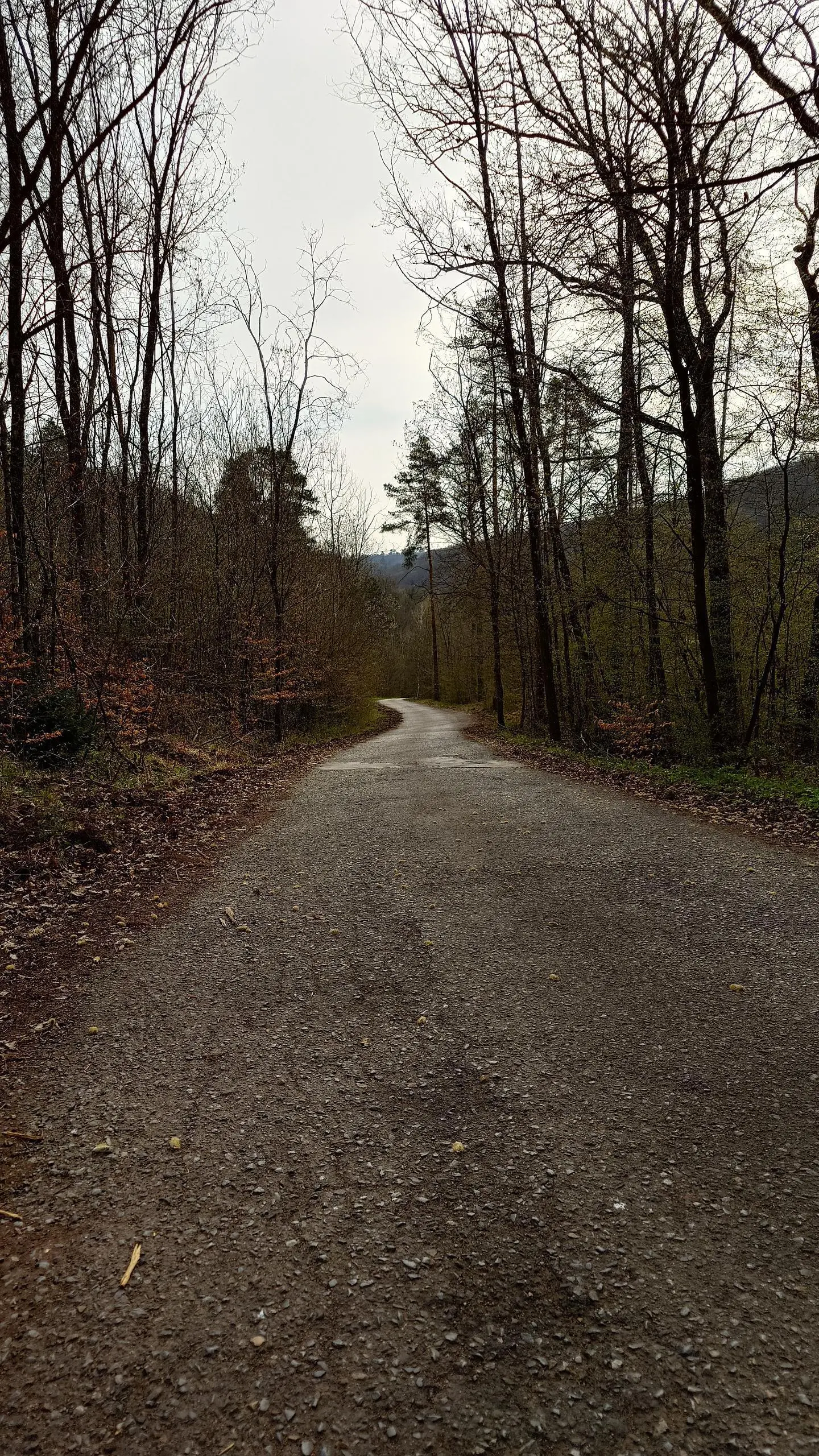
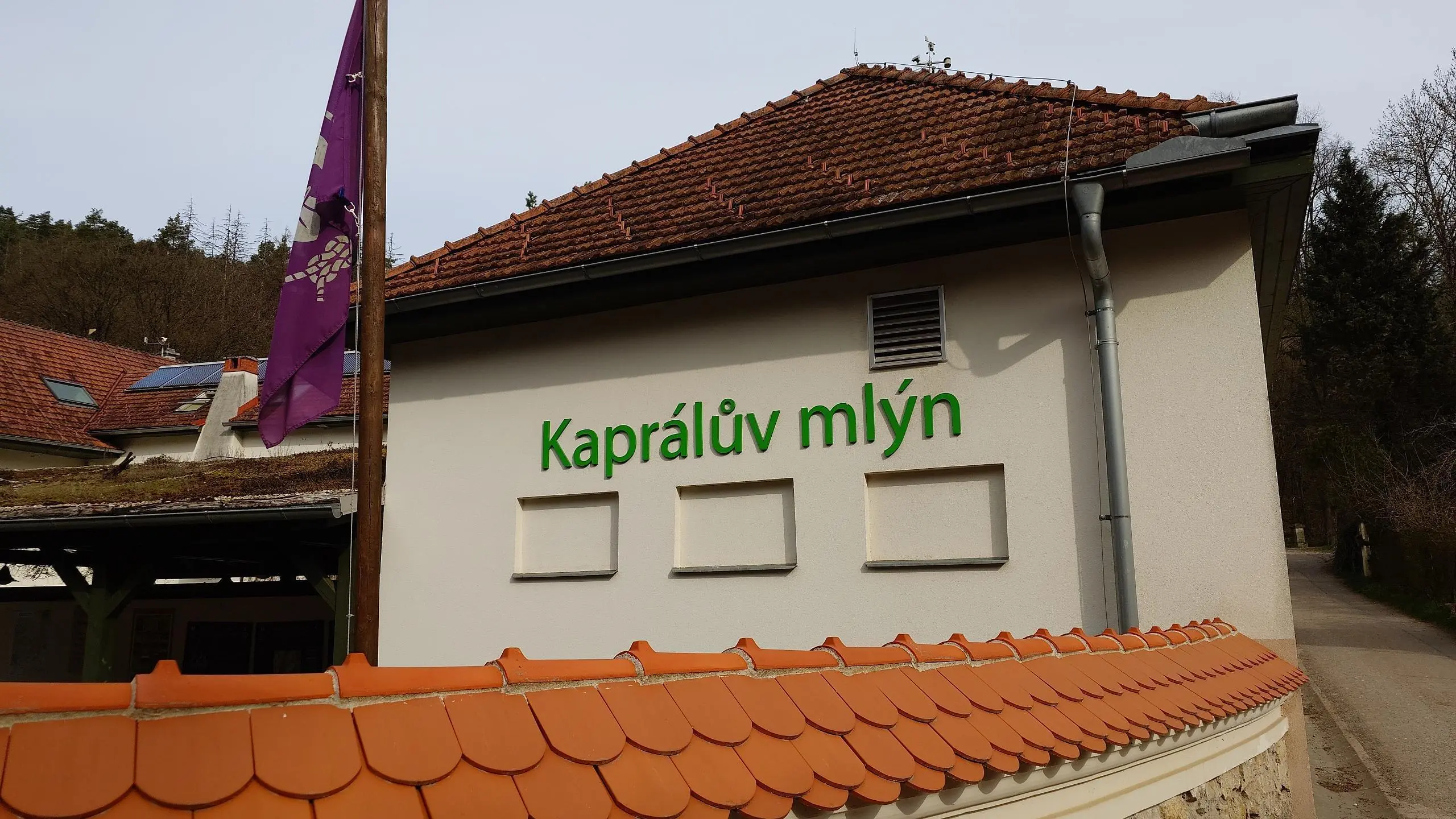
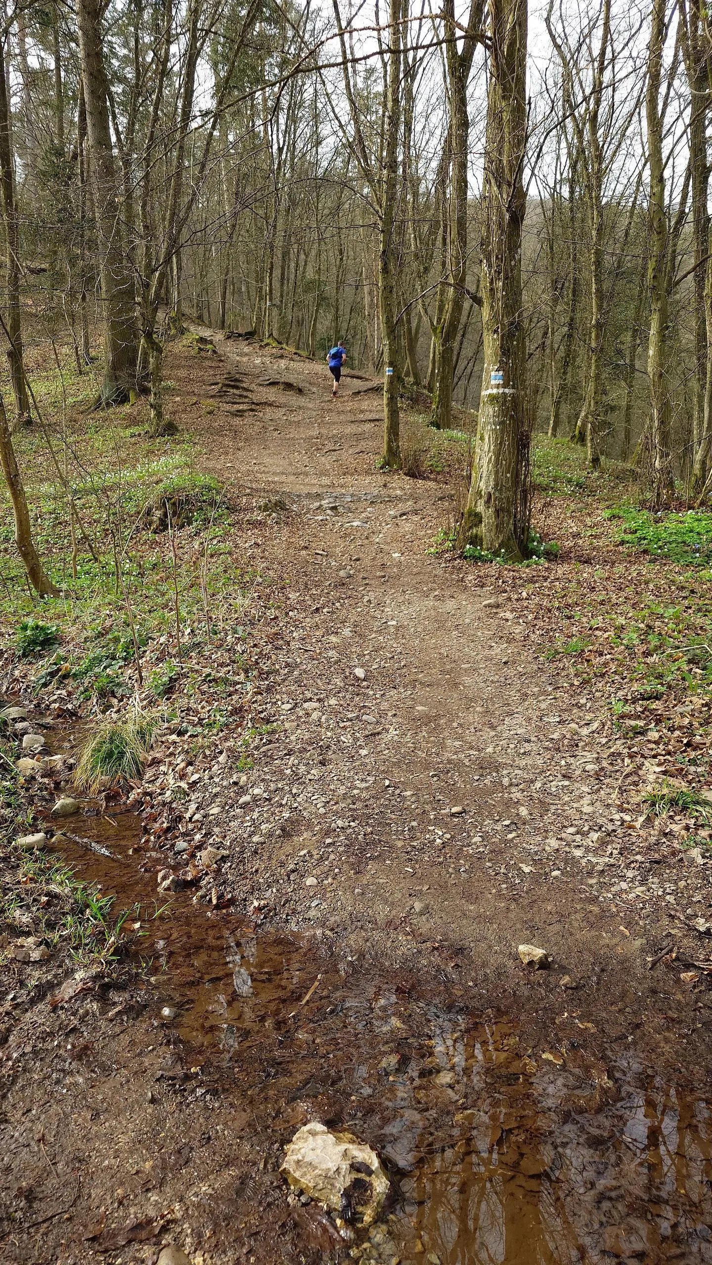
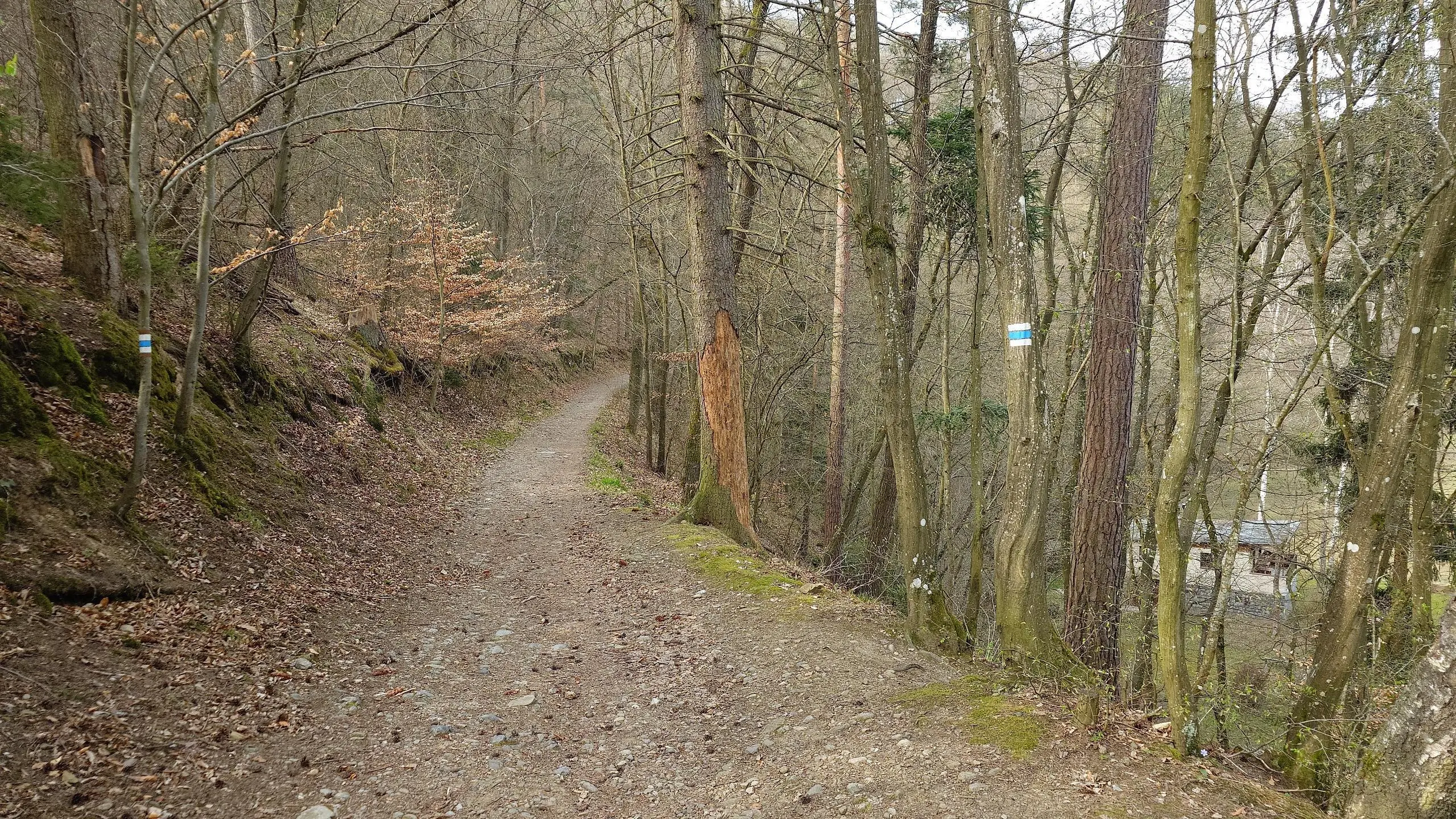
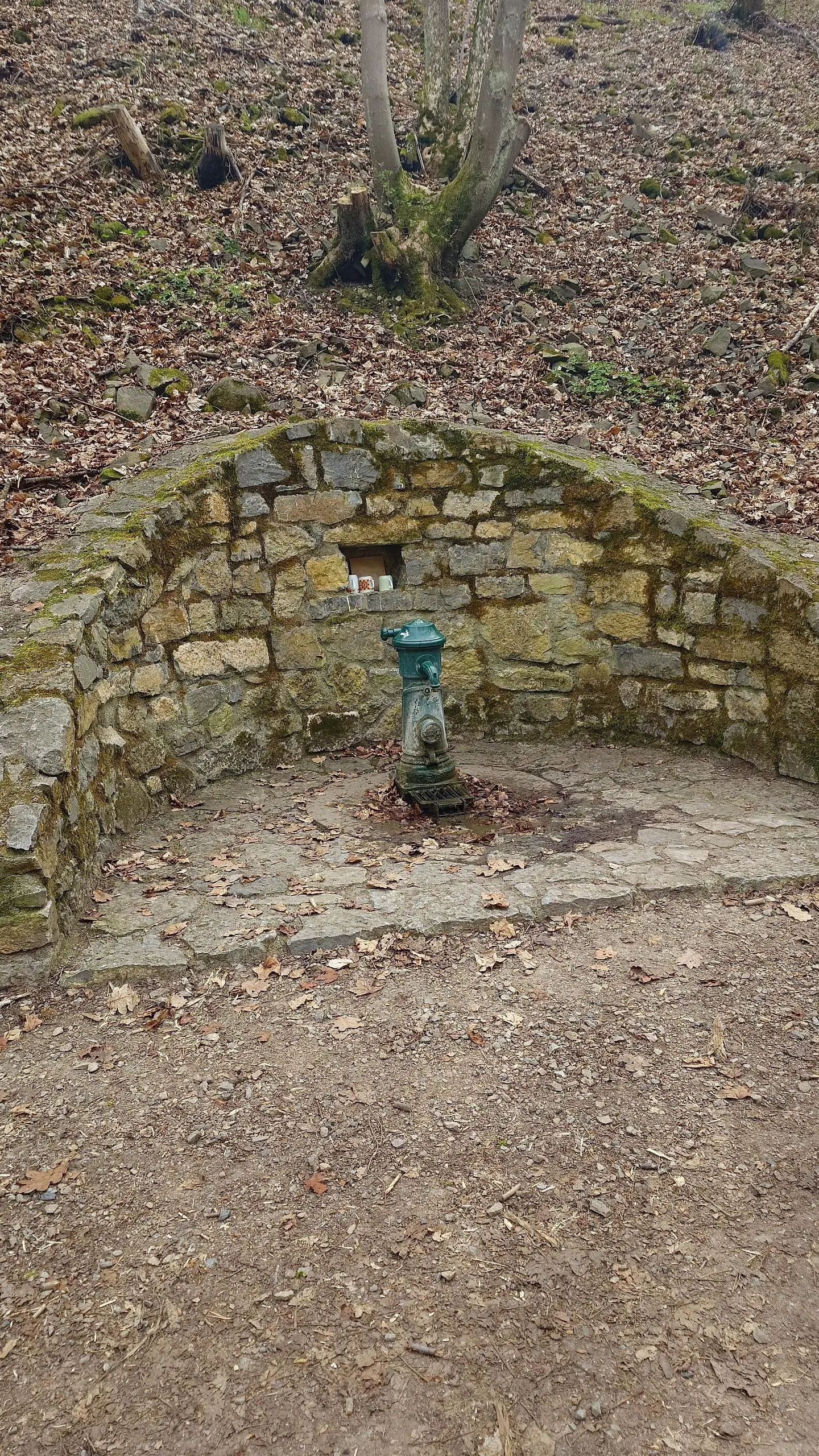
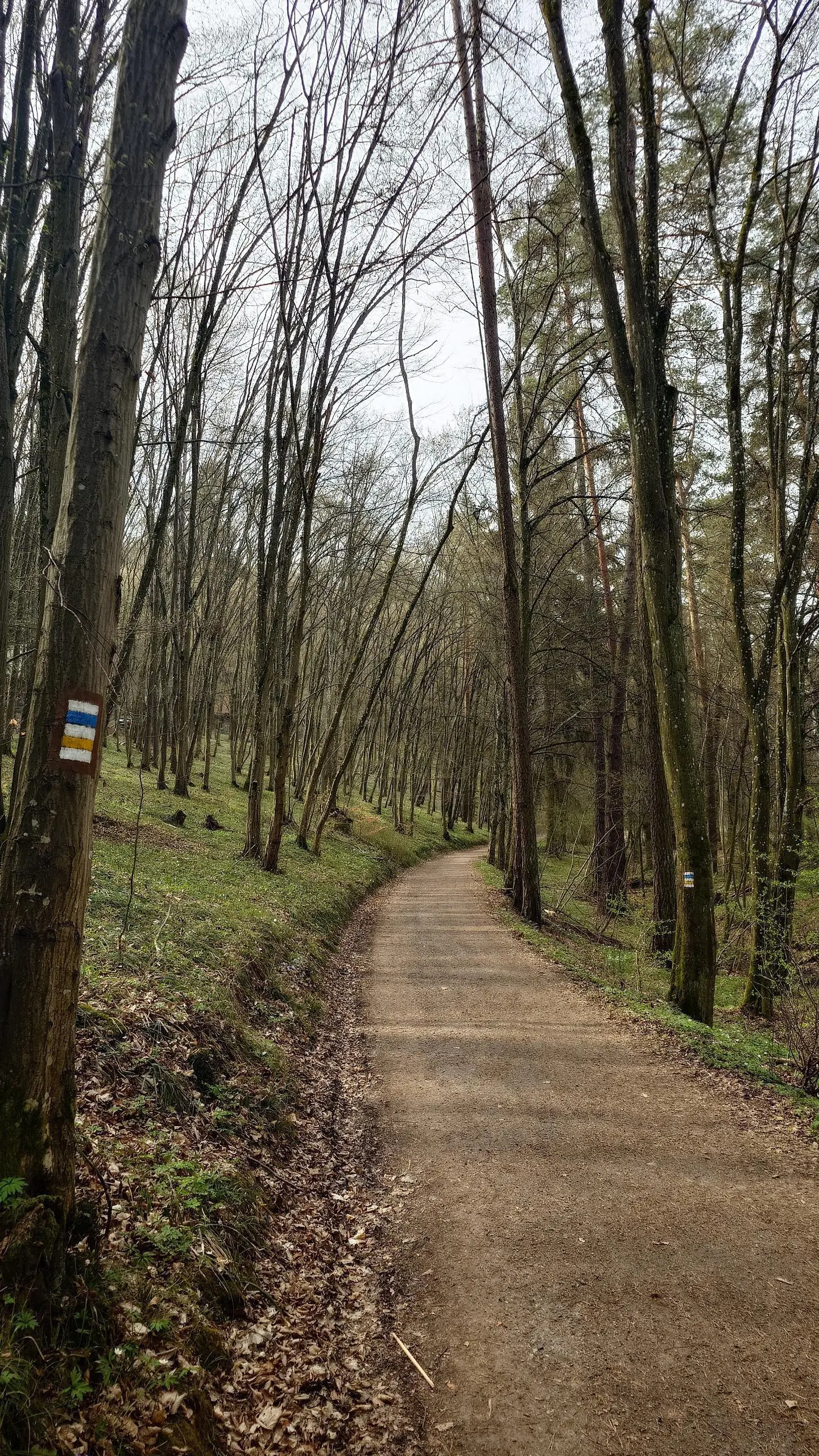
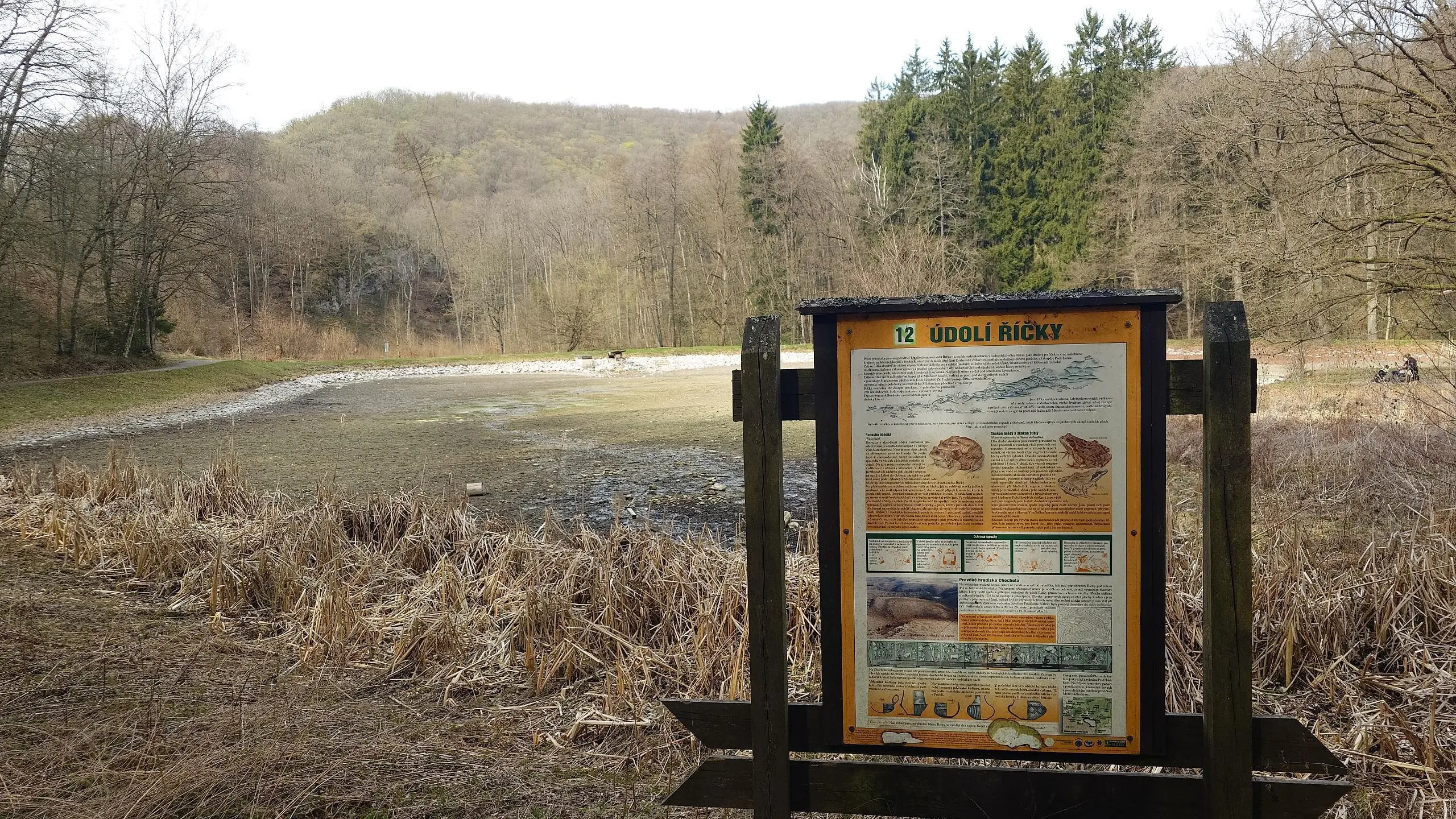
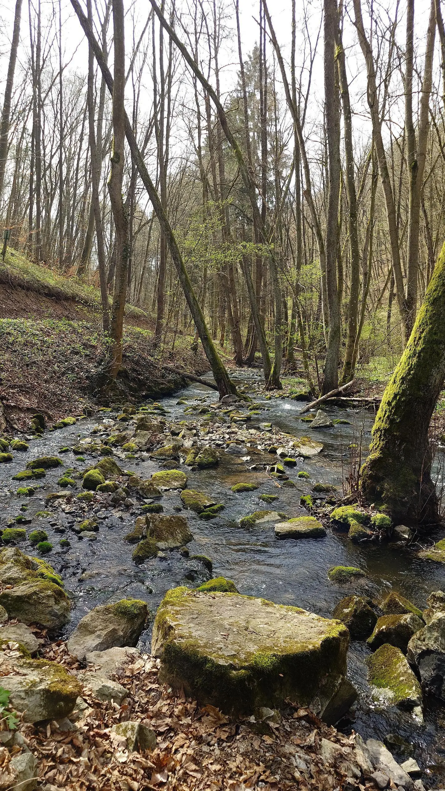
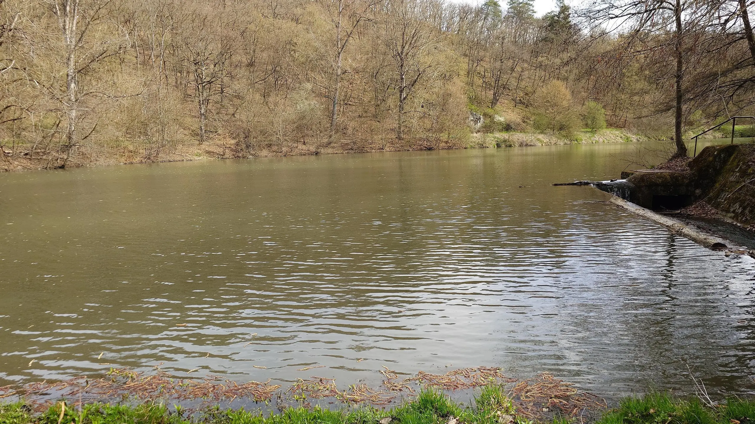
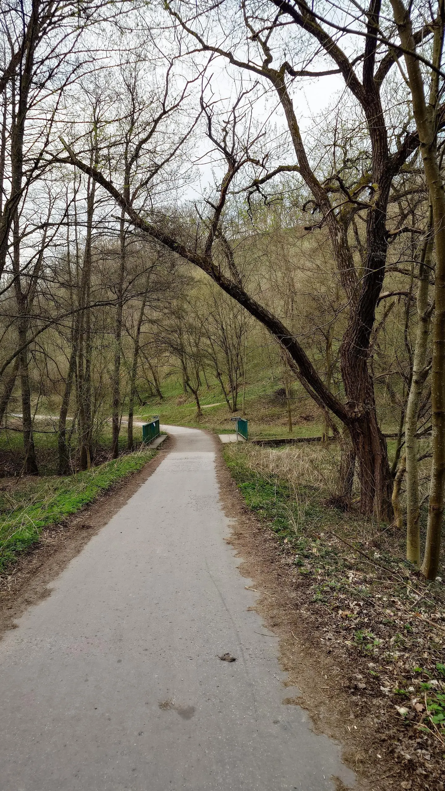
This walking route covers 5.581mi starting from Ochoz u Brna, South Moravian. The walk does not return to the trailhead and ends near Mariánské Údolí, 62800 Brno. This walk is rated as easy, plan for about 2h20m to complete it. The route has an elevation gain of 581ft and an elevation loss of 1161ft.

Description of the route by the creator

Достаточно легкий маршрут на 9 км В основном спуски, только один подьем До точки старта добрался автобусом 201 от остановки Stará osada

Route profile

581ft
Elevation gain
1161ft
Elevation loss
938ft
Min altitude
1526ft
Max altitude

How to get there

Trailhead: 373, 664 02 Ochoz u Brna

GPS coordinates of the trailhead: 49.24541, 16.72507 / 49°14'43'' N, 16°43'30'' E

Caution: May Cross Private Property

This route may pass through or near private property. Always respect posted signs, obtain permission where required, and follow local trespassing laws. MapPlanner does not guarantee public access along any route.

Safety Notice

Trail and road conditions may change without notice due to weather, construction, or other factors. Always verify current conditions before heading out. You are responsible for your own safety — follow local signage, obey traffic laws, and use your best judgment on the trail.