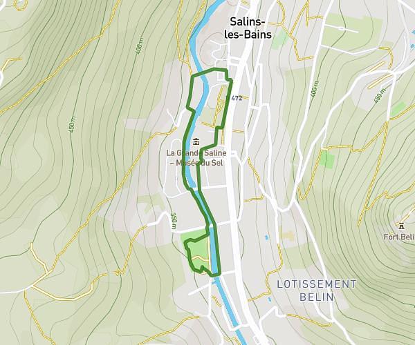
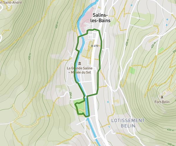
This running route covers 3.651mi starting from Arsure-Arsurette, Jura. The run is a loop trail and returns to the trailhead. This run is rated as easy, expect about 2h32m to complete it. The route has an elevation gain of 417ft and an elevation loss of 420ft.
arsures 2
Route details
1.44mph
Speed
1738 kcal
Calories burned
Loop trail
Route type
2989ft
Min altitude
3182ft
Max altitude
Route profile
417ft
Elevation gain
420ft
Elevation loss
2989ft
Min altitude
3182ft
Max altitude
How to get there
Trailhead: Rue Du Clôs Vaillant, 39250 Arsure-Arsurette
GPS coordinates of the trailhead: 46.72312, 6.08516 / 46°43'23'' N, 6°5'6'' E