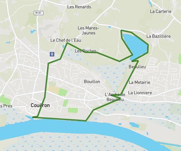
This hiking trail covers 10.422mi starting from Sainte-Luce-sur-Loire, Loire-Atlantique. The hike is a loop trail and returns to the trailhead. This hike is rated as easy, plan for about 2h47m to complete it. The route has an elevation gain of 302ft and an elevation loss of 302ft.
sainte luce sur loire
Route details
3.73mph
Speed
1185 kcal
Calories burned
1.1%
Avg grade
Loop trail
Route type
3ft
Min altitude
52ft
Max altitude
Route profile
302ft
Elevation gain
302ft
Elevation loss
3ft
Min altitude
52ft
Max altitude
How to get there
Trailhead: Allée Eudes De Frémond, 44980 Sainte-Luce-sur-Loire
GPS coordinates of the trailhead: 47.24797, -1.48488 / 47°14'52'' N, 1°29'5'' W