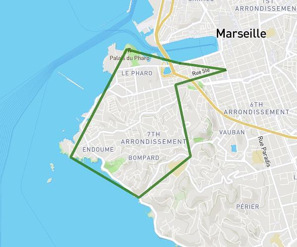
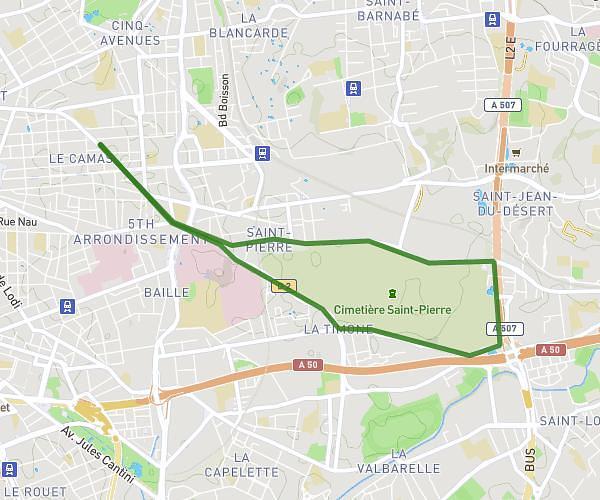
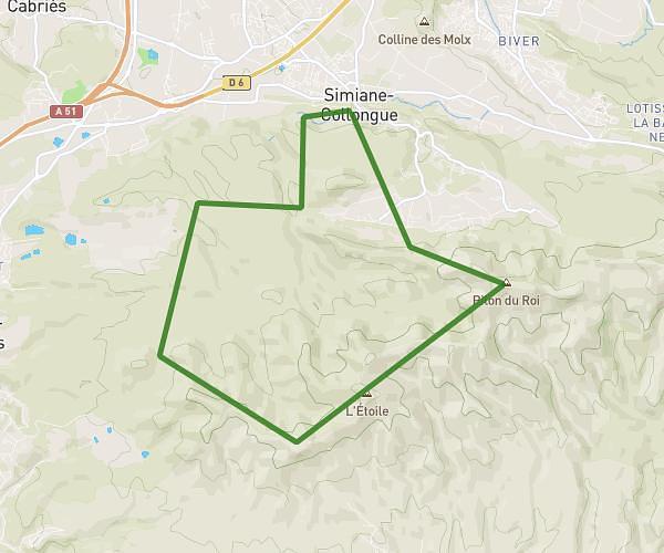
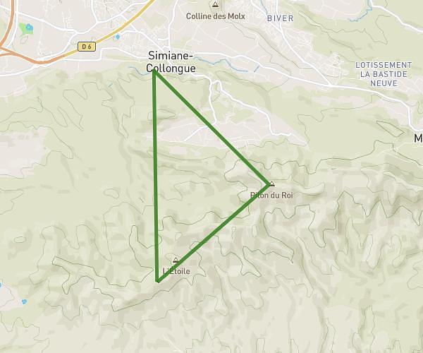
This running route covers 11.758mi starting from Marseille, Bouches-du-Rhône. The run is a loop trail and returns to the trailhead. This run is rated as strenuous, expect about 2h15m to complete it. The route has an elevation gain of 121ft and an elevation loss of 131ft.
Reprise 2024
Route details
5.23mph
Speed
1544 kcal
Calories burned
Loop trail
Route type
7ft
Min altitude
138ft
Max altitude
Route profile
121ft
Elevation gain
131ft
Elevation loss
7ft
Min altitude
138ft
Max altitude
How to get there
Trailhead: 39 Rue Perrin-Solliers, 13006 Marseille, France
GPS coordinates of the trailhead: 43.29008, 5.38527 / 43°17'24'' N, 5°23'6'' E